“People come, people go,
The river continues to flow.”
-A.S.
The mighty Davey River. Pentax MX, Kodak Portra 800, Nov 2025.
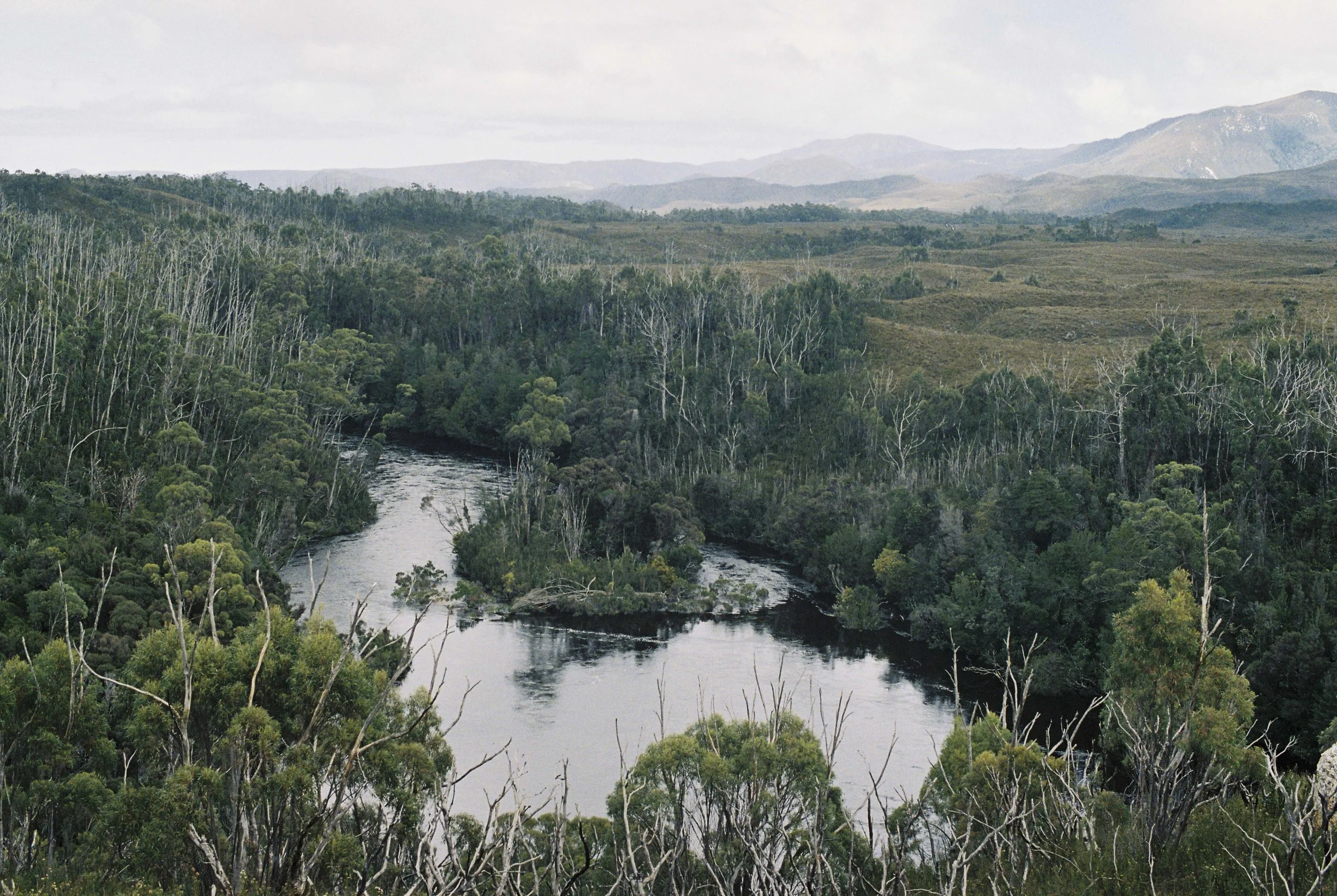
The Davey River is one of the largest rivers in South-West Tasmania, and we floated on this massive conveyor belt peacefully. We had made it down the Crossing in just over an hour and a half, and now we were enjoying a cruisy paddle down a river that was reminiscent of the Huon, if it wasn’t for all the buttongrass and tea trees that lined the banks.
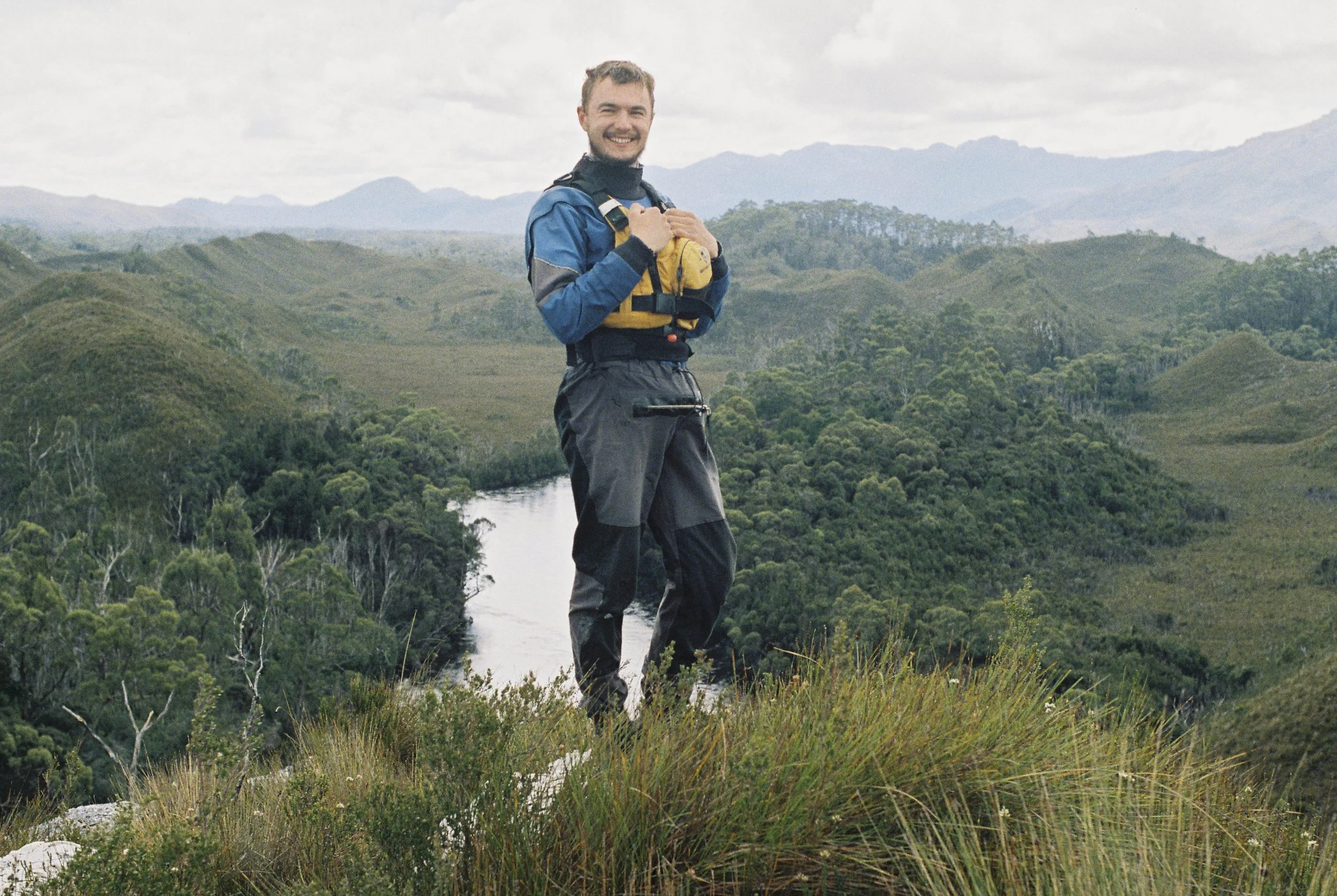
Gabe standing on top of our buttongrass knoll over the Davey River. Pentax MX, Kodak Portra 800, Nov 2025.
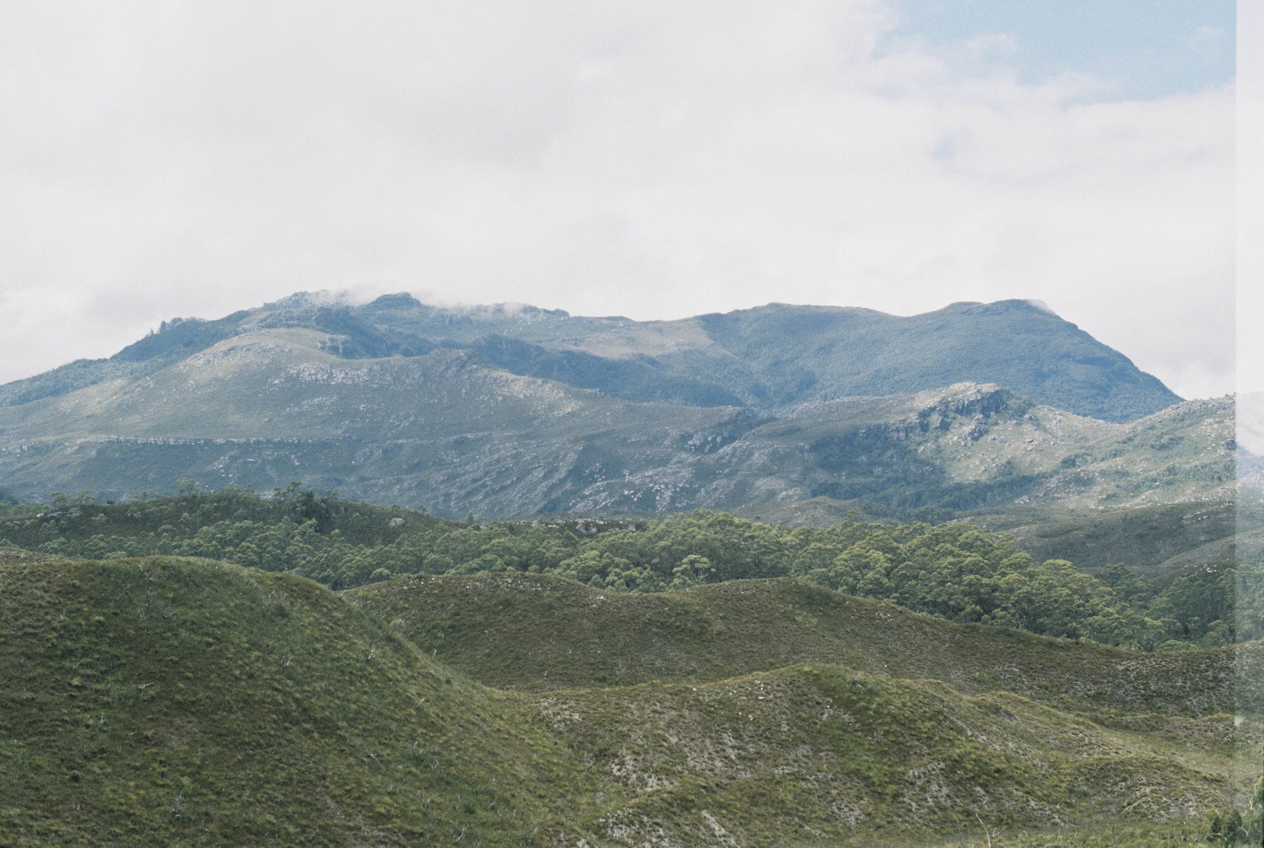
The sun was out and we pulled ashore to climb a small buttongrass knoll to get a view. While the rivers really are like highways in the South-West, they don’t allow much of a view of the surrounding landscape. For a small effort and some rather steep clambering on slimy buttongrass, we attained a grand view, stretching from Greystone Bluff down to the hills near Port Davey. We were such a long way from home!
Gabe left his helmet behind after our lunch stop and had to walk back up along the bank to retrieve it. He returned by floating down the middle of the river, big grin on his face.
After quite an exciting morning on the Crossing, we reached the gauge on the Davey by the early afternoon. This was our take out for the day, and we welcomed the afternoon sun that allowed us to hang up and dry out all our gear at the hydro hut.
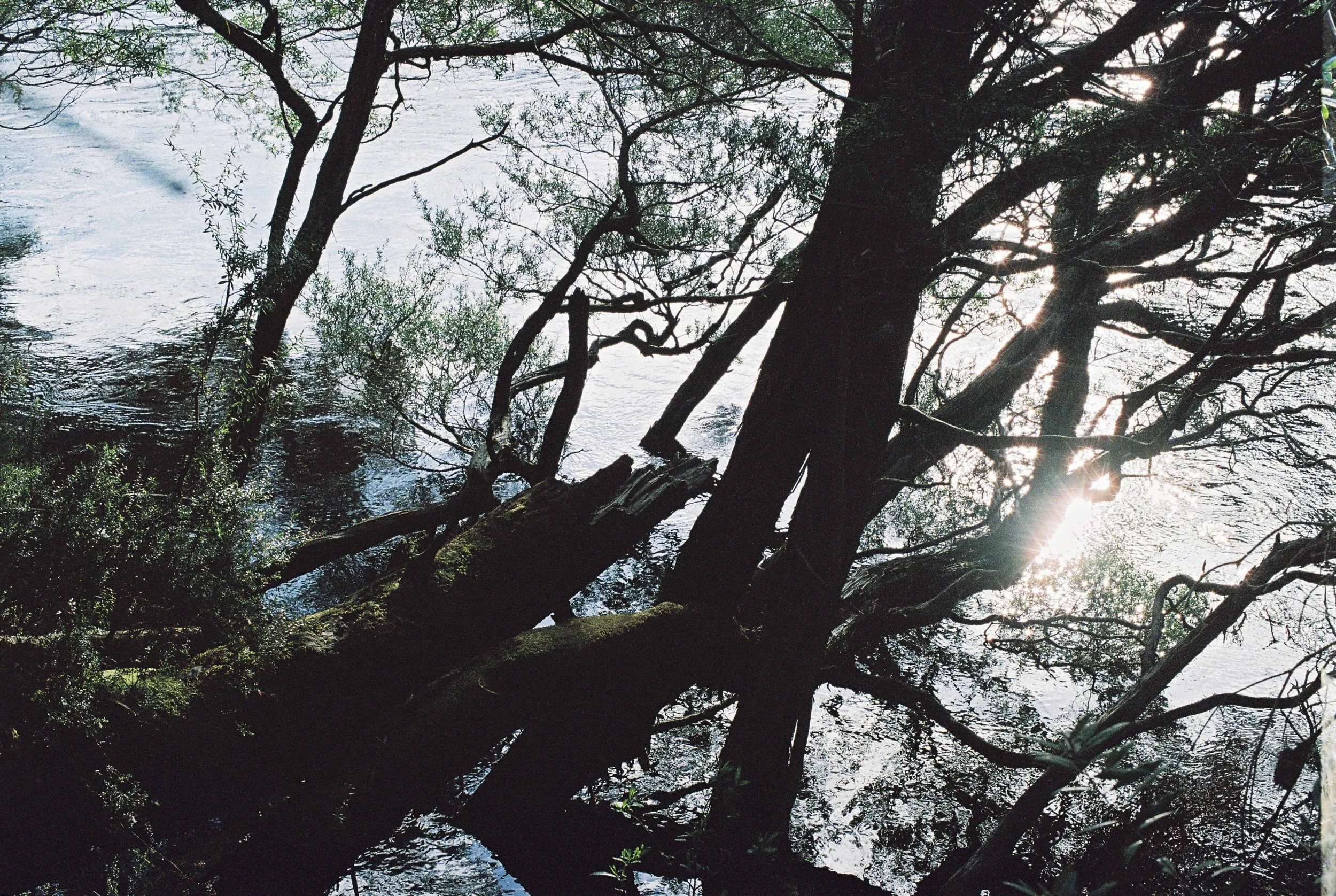
Reflections. Pentax MX, Kodak Portra 800, Nov 2025.
Like all the rivers in the South-West, the HEC had plans to flood the Davey River in the 1970s, by diverting the water into the Lower Gordon. This would have flooded a vast area that is now contained in the Tasmanian Wilderness World Heritage Area, to give only a handful of metres of water that could actually flow across the Olga-Hardwood saddle. The concept is not dissimilar to how hydro can only drain the top 1.5m of the Pedder impoundment into Lake Gordon. Either way, the dam in the Davey Gorge or the lower Gordon were never built thankfully. The hydro hut remains however, and is very well maintained.
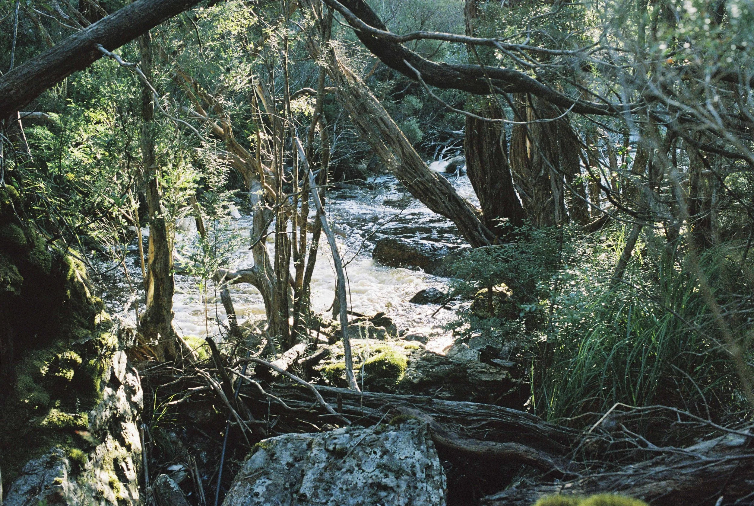
Cascading Creek near hydro hut. Pentax MX, Kodak Portra 800, Nov 2025.
We made ourselves at home at the hut, which was a bizarre experience. It really is in one of the most remote places, and it felt strange to be using a kitchen with running water out of the tap. We made ourselves at home and sat in the camping chairs on the deck while basking our toes in the sun. We later went for a wonder to check out the waterfall on the little creek nearby; it had quite a nice little swimming hole which I utilised for a wash. It was a quick dip by all accounts!
The next day when we departed the hut, we left everything as we found it. Hydro probably leaves this hut open as the number of packrafters coming through are far and few in between and because they have respected this strange little hut till now.
Ahead of us lay one of the most spectacular landscape features of our whole trip: The Davey Gorge!
Greystone Bluff. Pentax MX, Kodak Portra 800, Nov 2025.