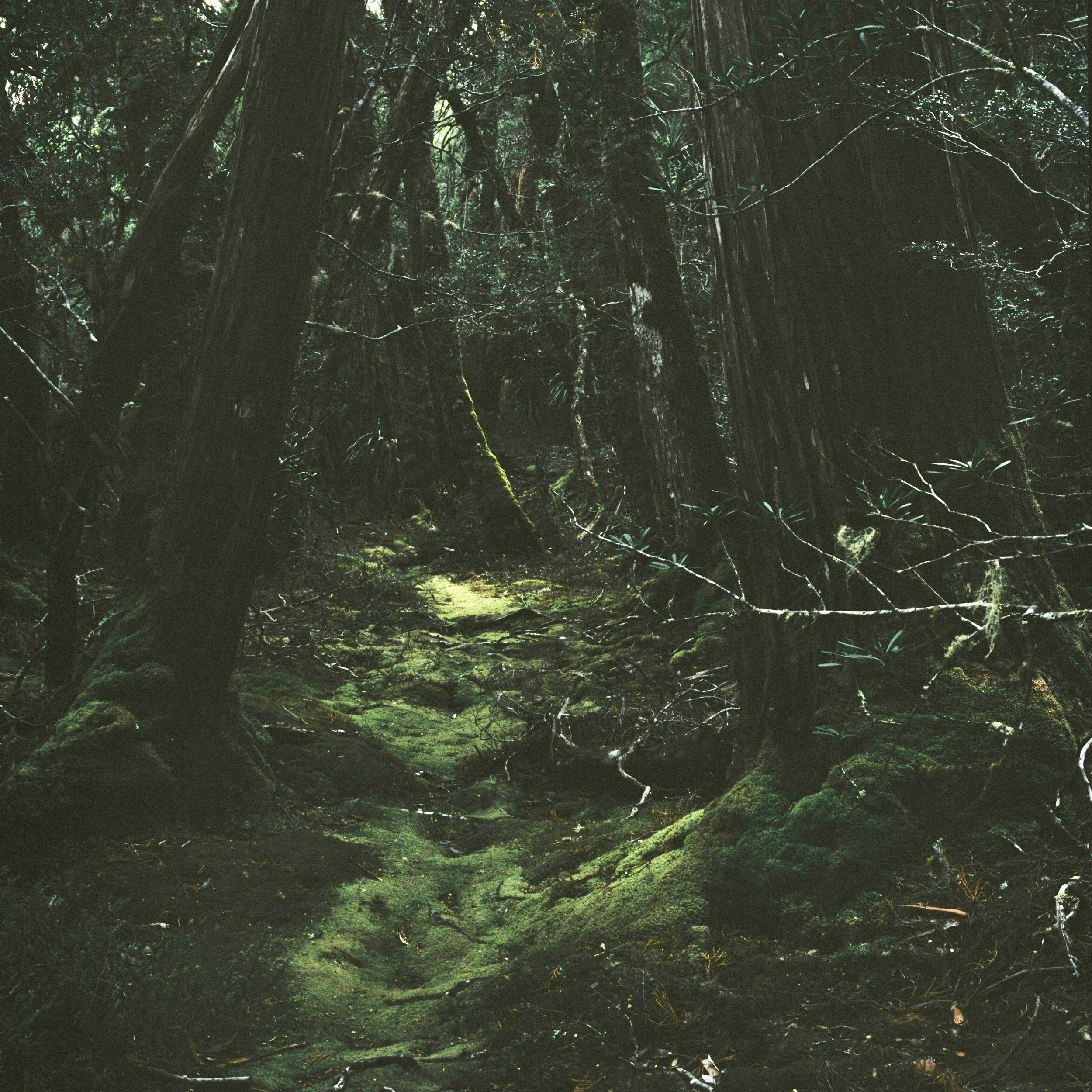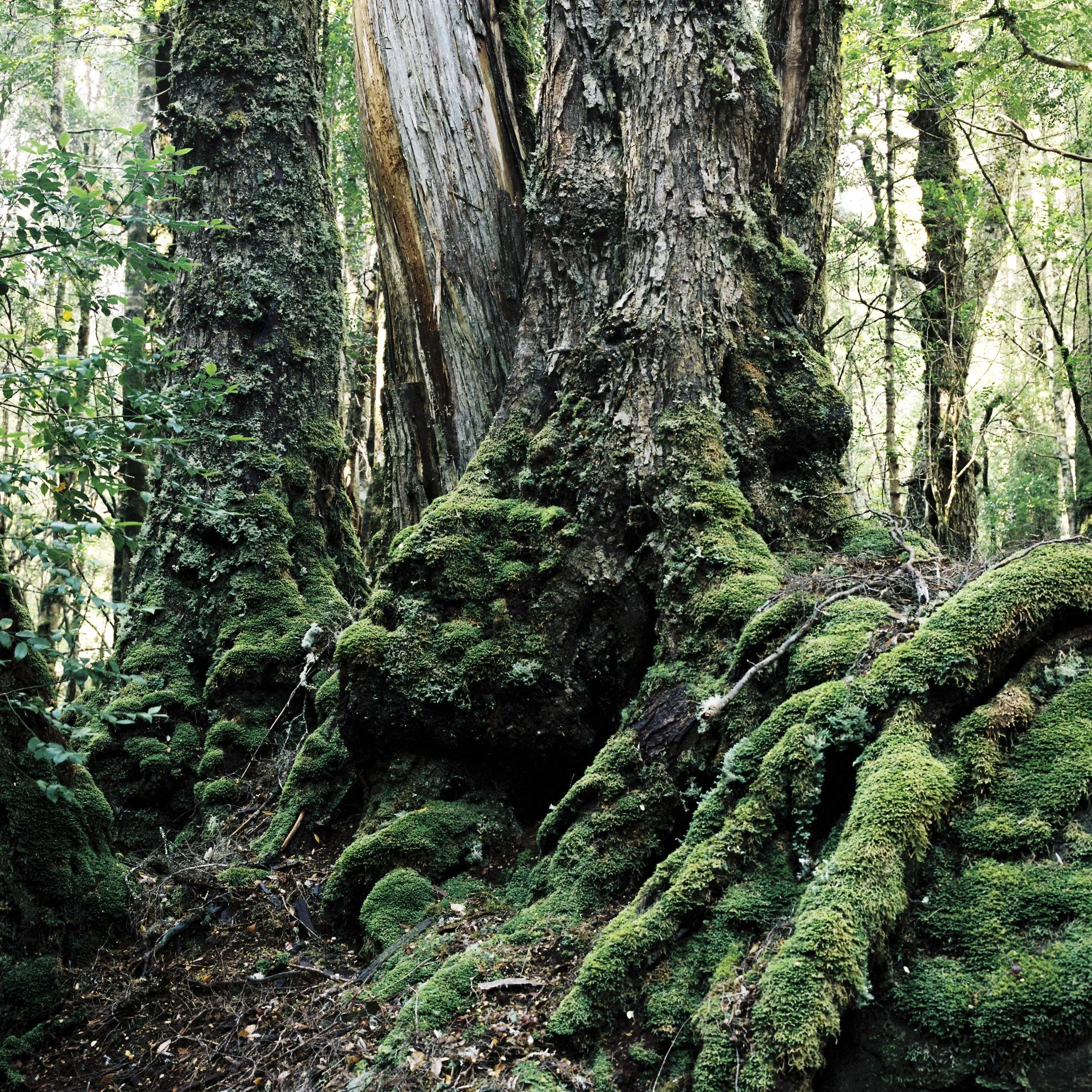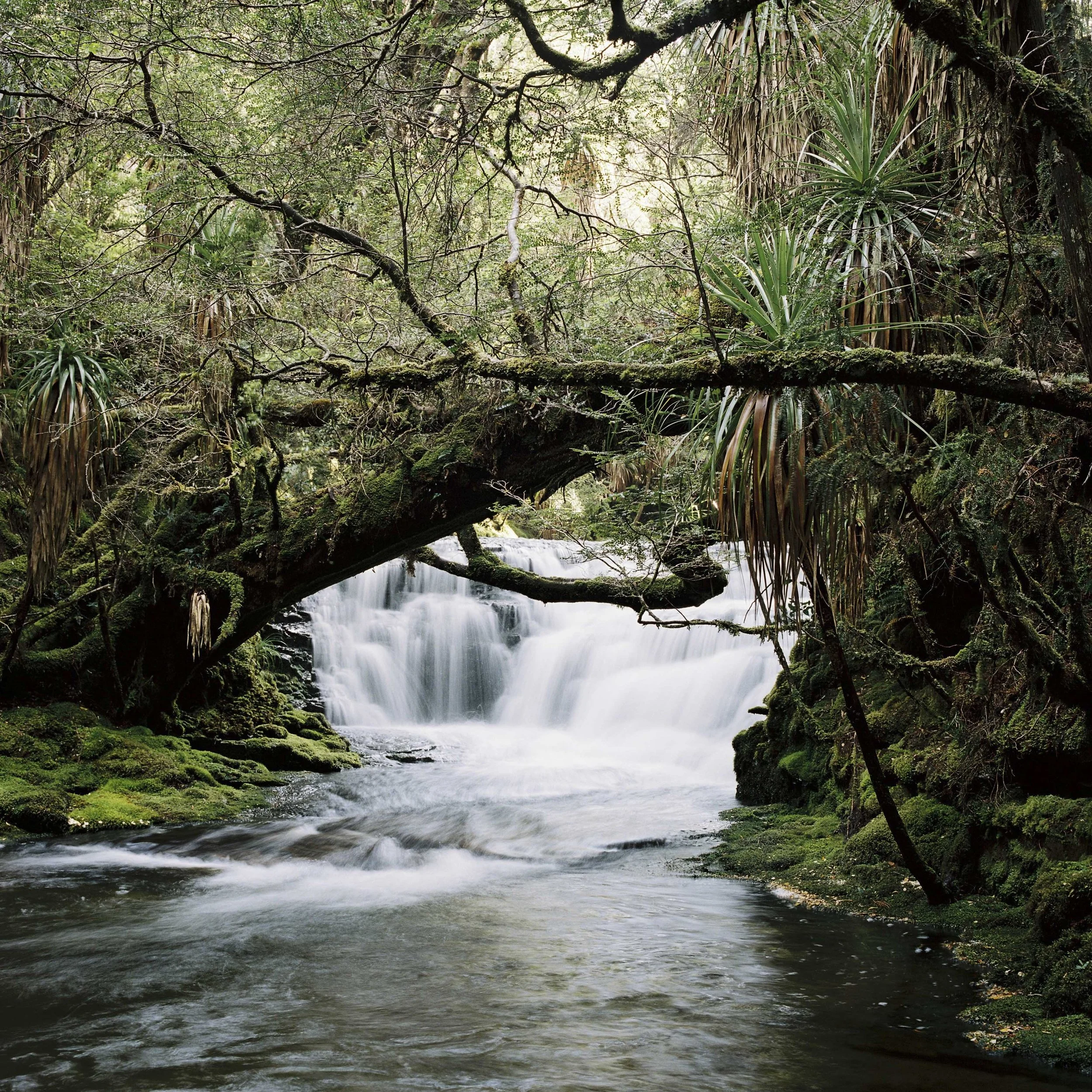
“Wonder is where it starts, and though wonder is also where it ends, this is no futile path. Whether admiring a patch of moss, a crystal, flower, or golden beetle, a sky full of clouds, a sea with the serene, vast sigh of its swells, or a butterfly wing with its arrangement of crystalline ribs, contours, and the vibrant bezel of its edges, the diverse scripts and ornamentations of its markings, and the infinite, sweet, delightfully inspired transitions and shadings of its colors — whenever I experience part of nature, whether with my eyes or another of the five senses, whenever I feel drawn in, enchanted, opening myself momentarily to its existence and epiphanies, that very moment allows me to forget the avaricious, blind world of human need, and rather than thinking or issuing orders, rather than acquiring or exploiting, fighting or organizing, all I do in that moment is “wonder,” like Goethe, and not only does this wonderment establish my brotherhood with him, other poets, and sages, it also makes me a brother to those wondrous things I behold and experience as the living world: butterflies and moths, beetles, clouds, rivers and mountains, because while wandering down the path of wonder, I briefly escape the world of separation and enter the world of unity.”
-Butterflies: Reflections, Tales and Verse - Herman Hesse
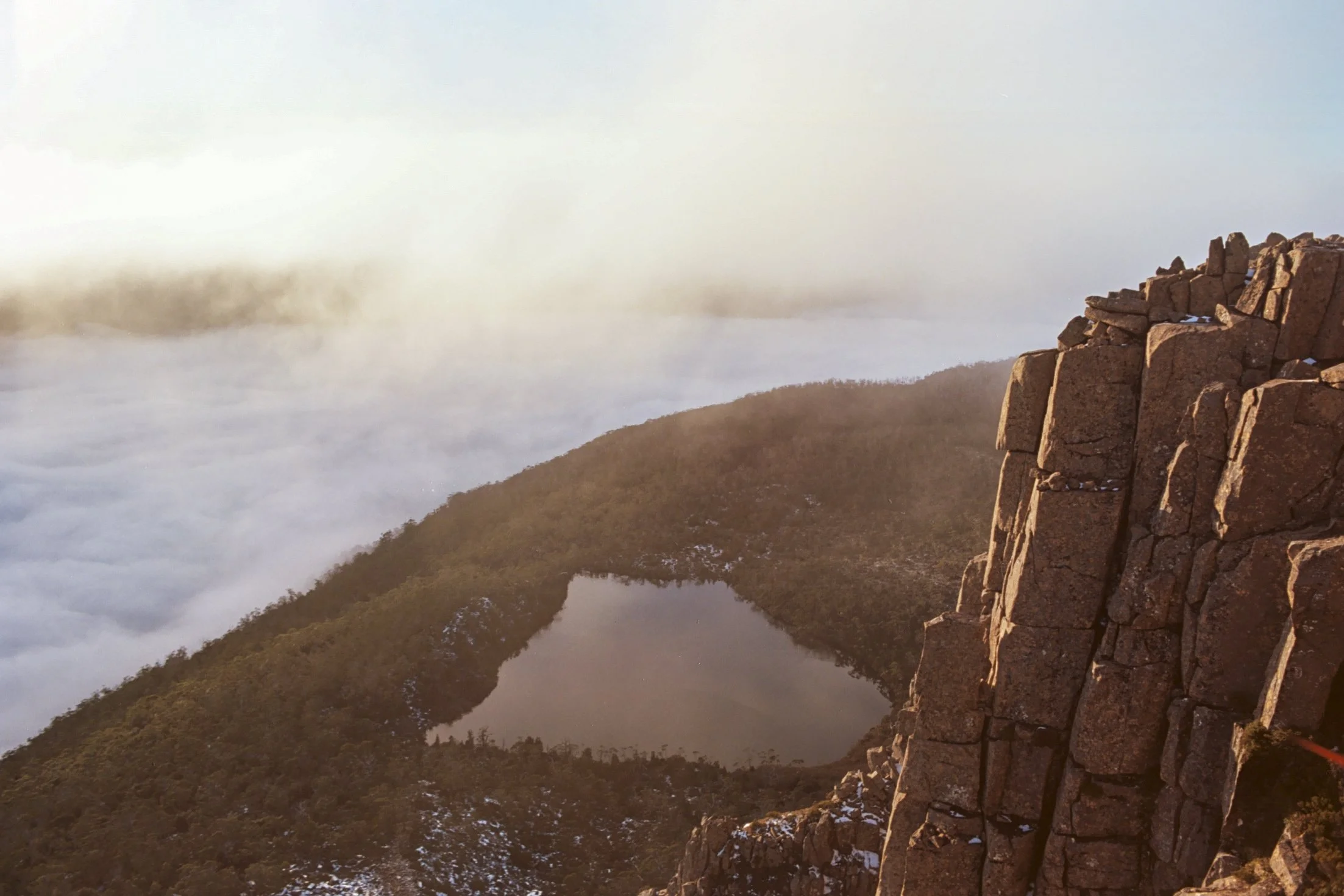
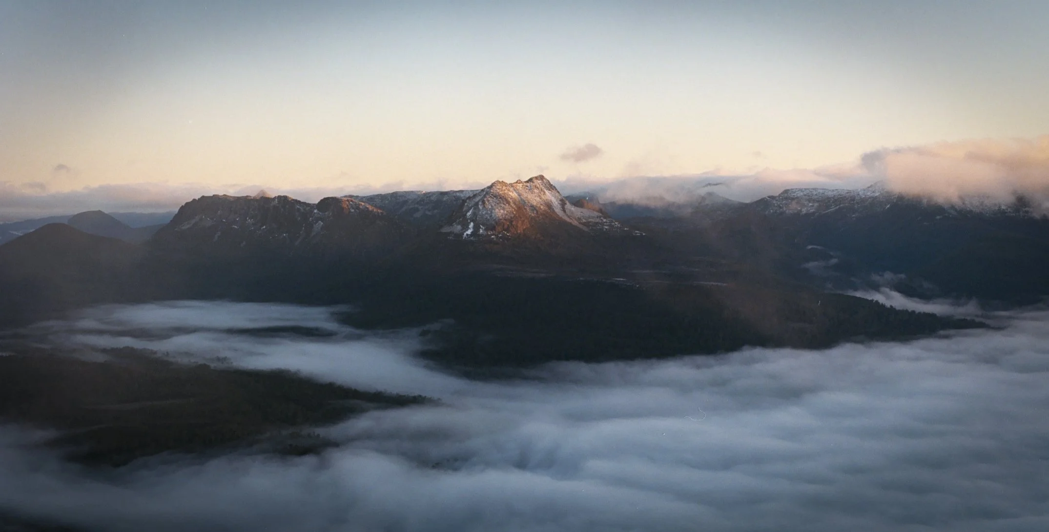
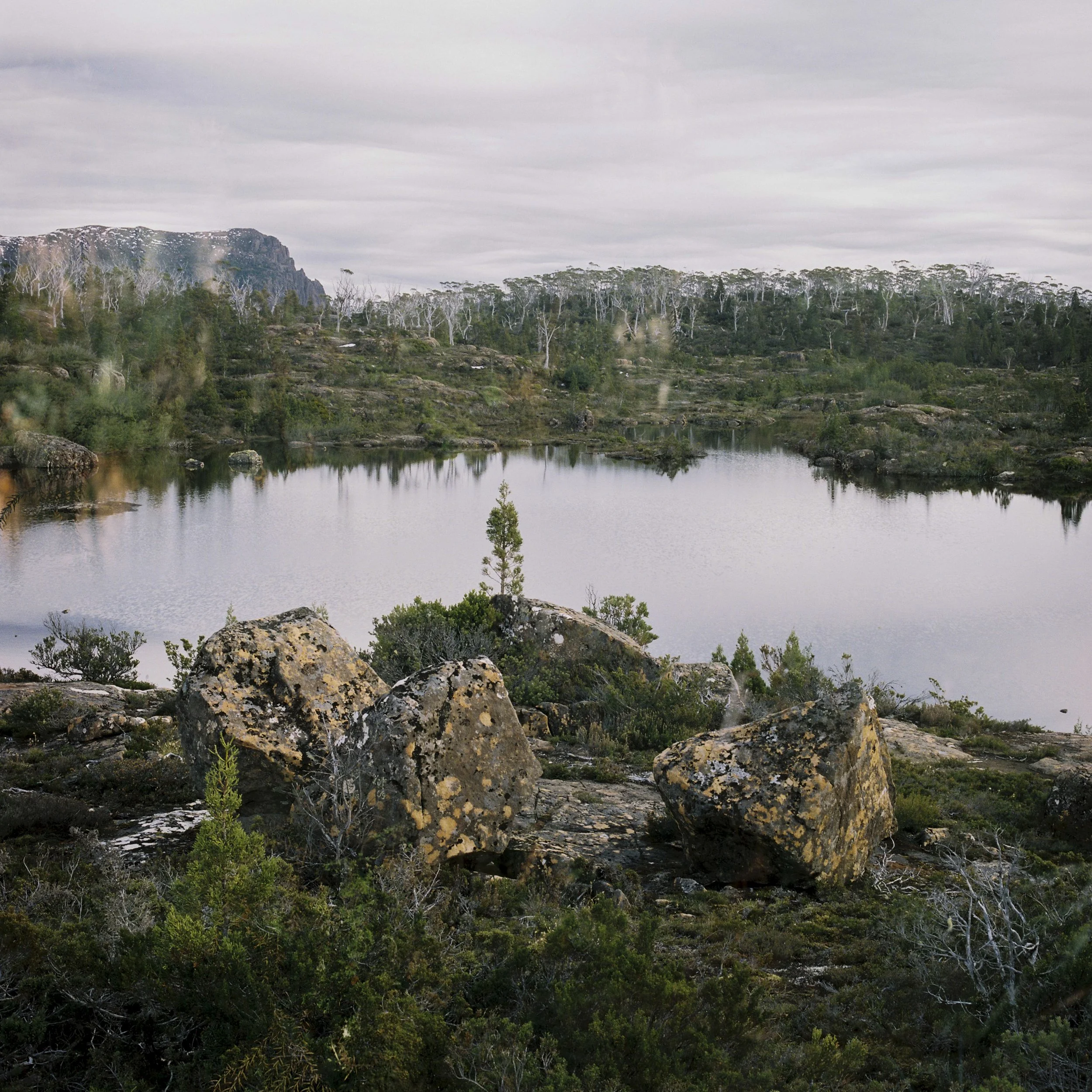
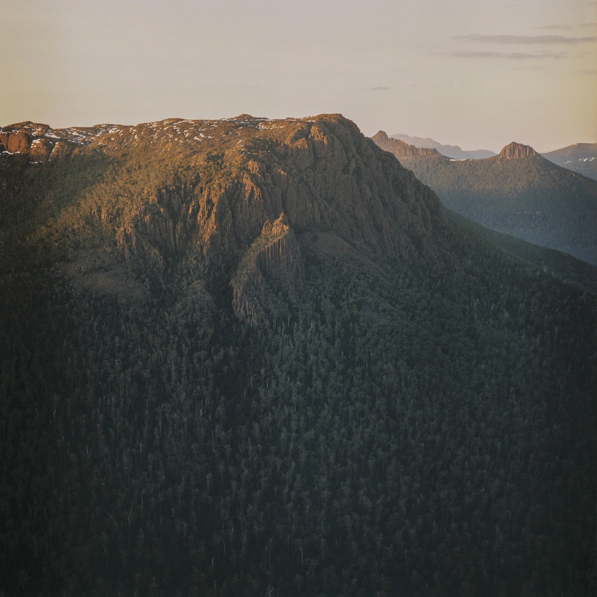
Frozen Fog. Pentax MX, Portra 800, July 2026.
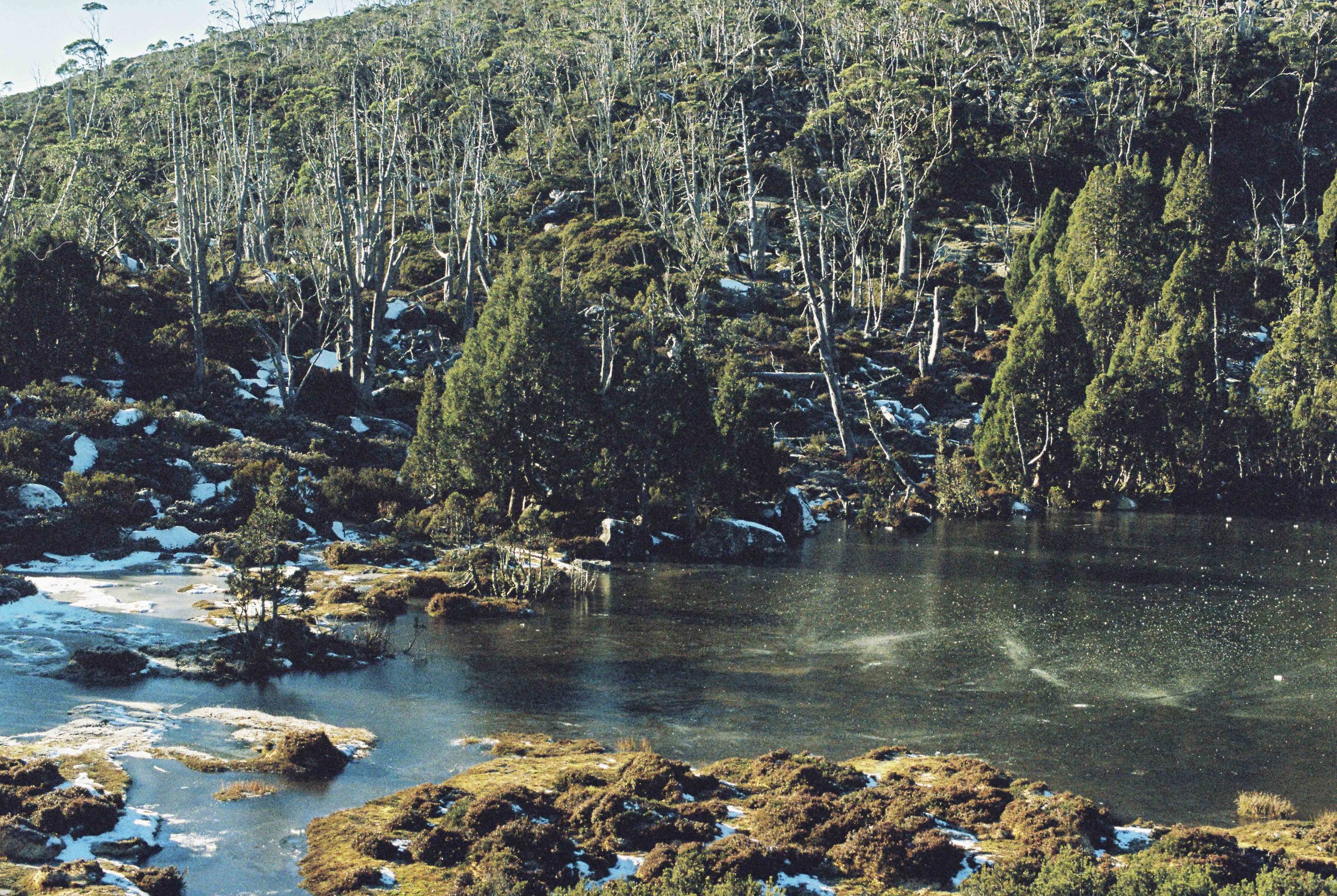
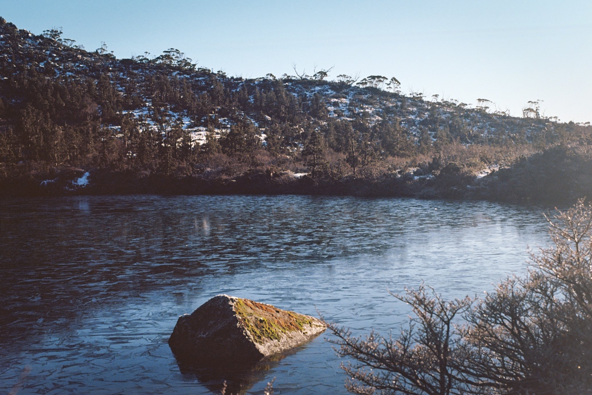
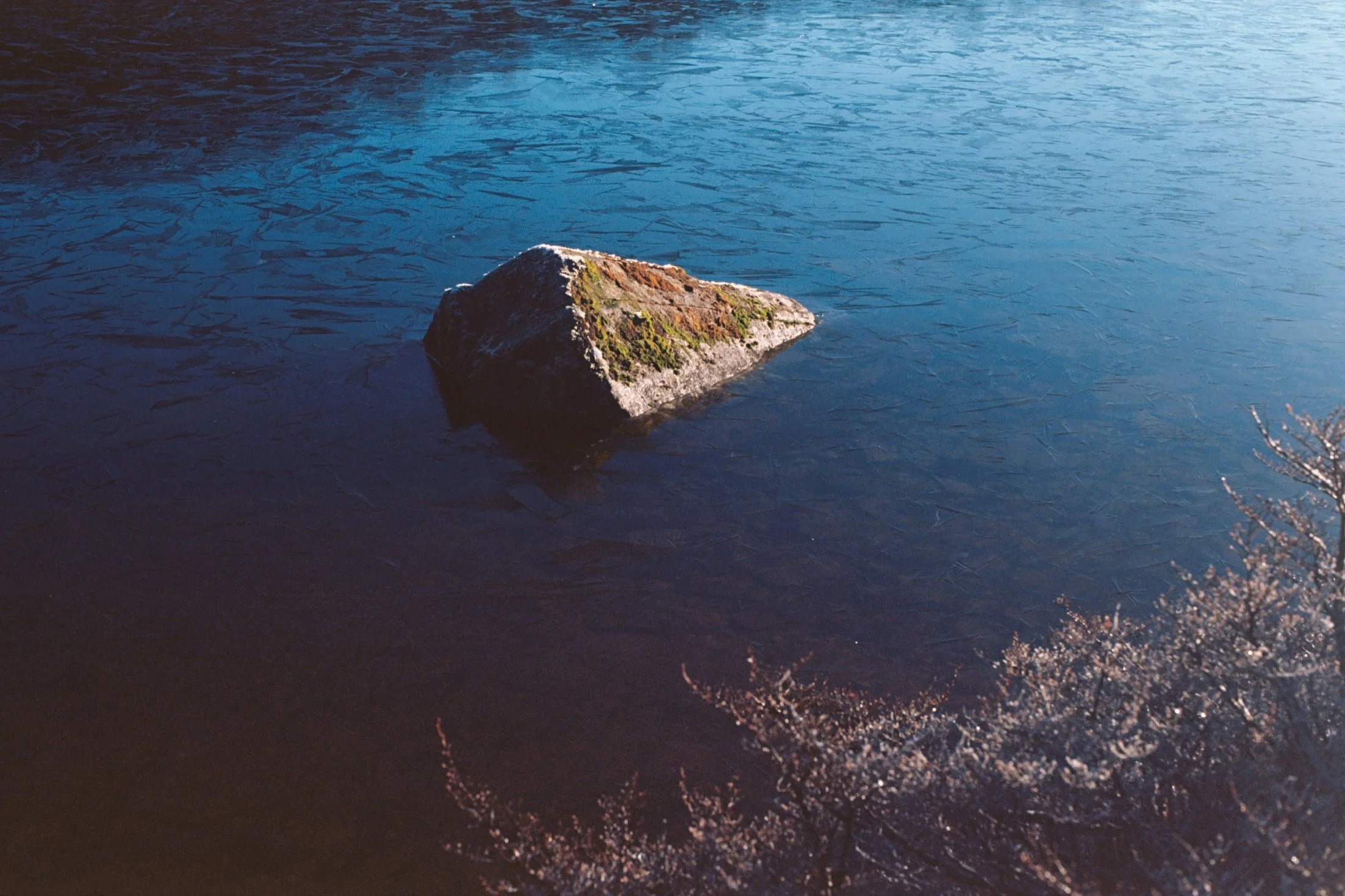
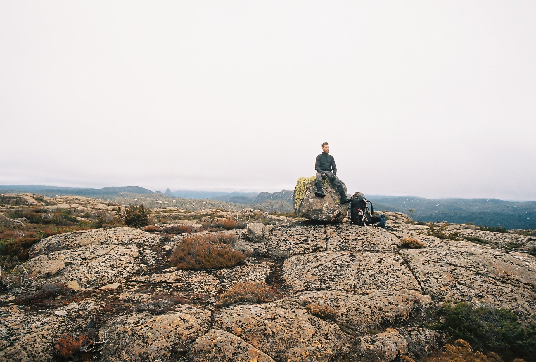
Snowballs on frozen lake. Pentax MX, Portra 800, July 2026.
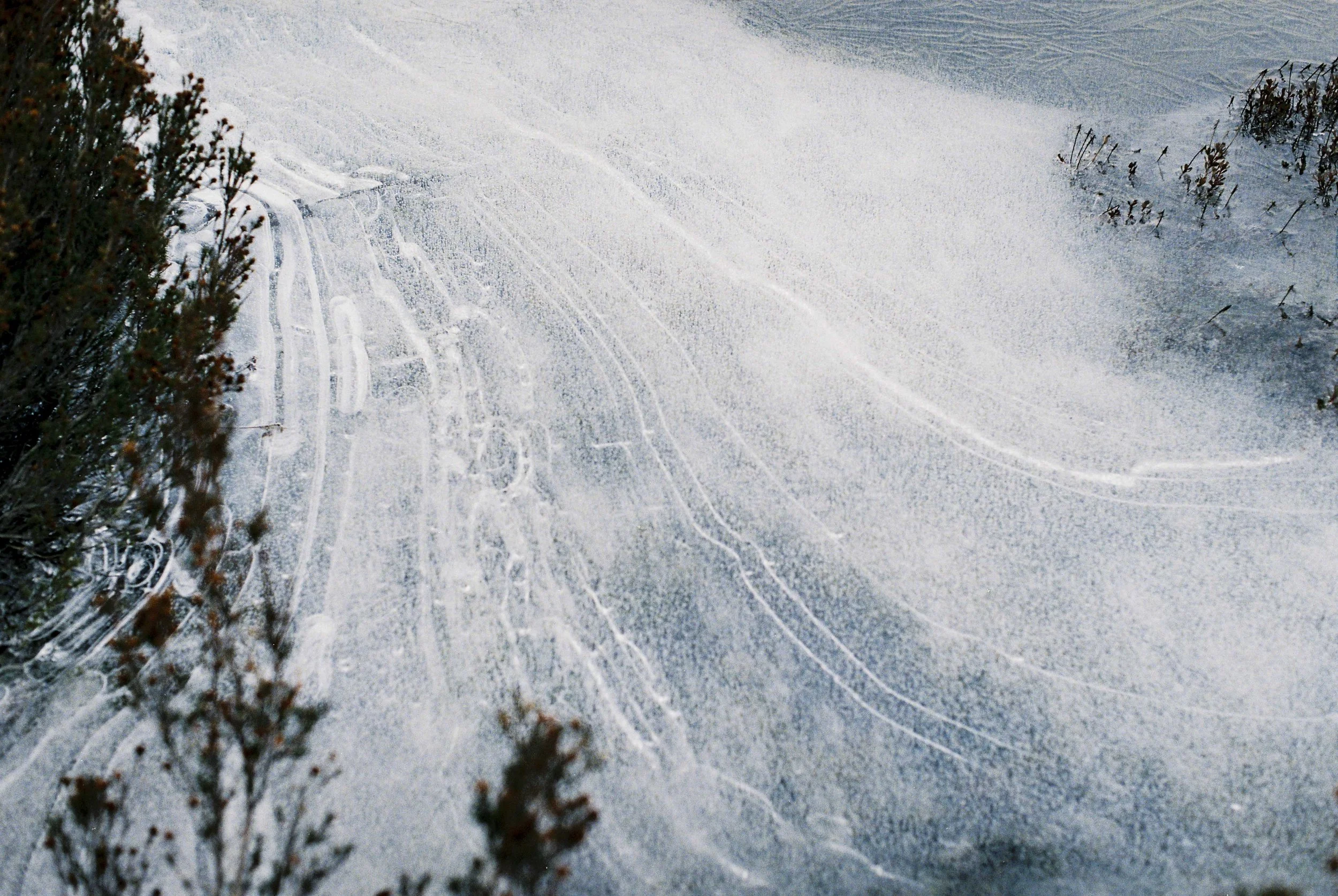
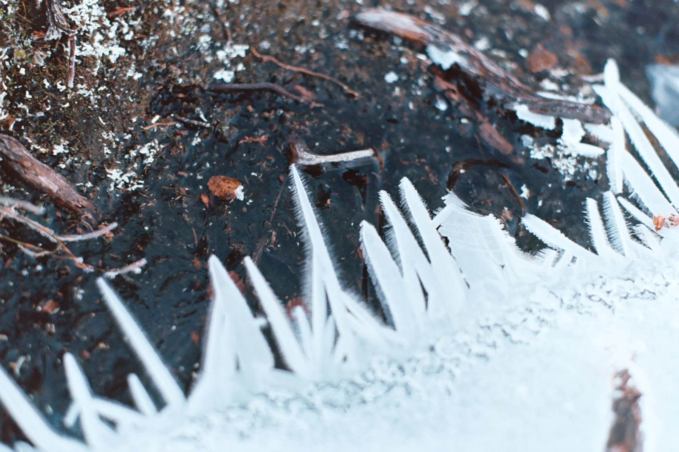
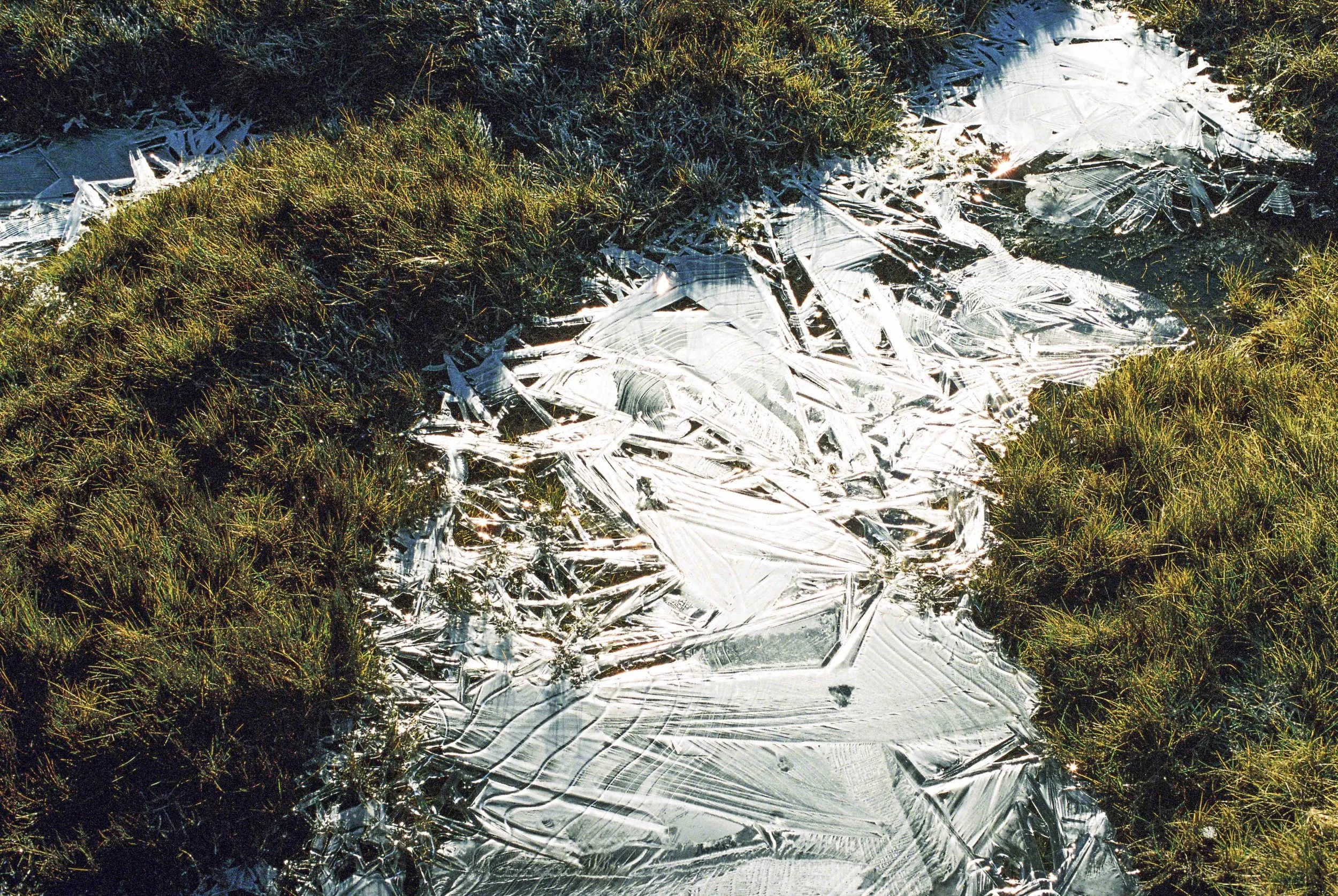
Swirly ice patterns. Pentax MX, Portra 800, July 2026.