After three days of slogging it out on foot with our ginormous packs, we had finally arrived to the put in on the Crossing River. We were below the Crossing Gorge, at the large pool where the river swings north. There was only one problem. There was a lot more water in the river than the previous night!
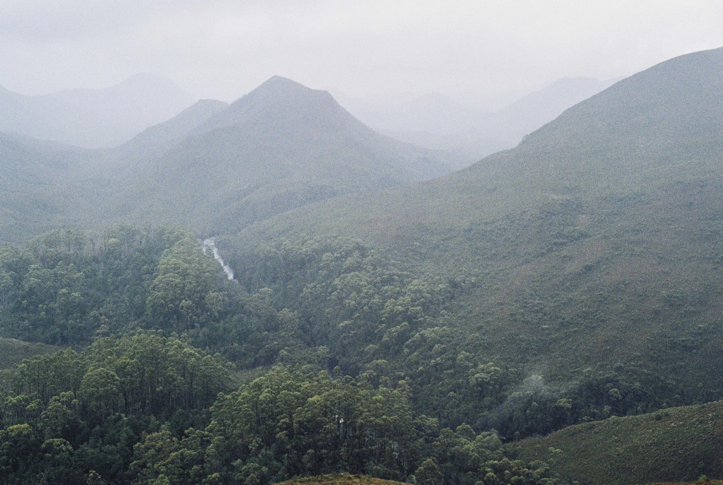
Our first (and only) view of the Crossing River. Pentax MX, Kodak Pro 100, Nov 2025.
The island in the middle of the pool had become a strainer, with only the tops of the tea trees sticking out. The current below the pool appeared fast and pushy. Perhaps it wasn’t quite a flood, but the river was reasonably high due to all the rain overnight. The dark water swirled in our large eddy and we stood there watching, thinking. To paddle, or not to be paddle, that was the question!
Gabe, being the much better paddler out of the two of us, was psyched as anything to put on the river. We knew that the section below us was mostly grade two, so we didn’t expect any gnarly white water. But there were only the two of us and we had left the spare paddle at home when we made the decision not to run the Crossing Gorge. But we had our hand paddles and a saw, so we had a plan in case we did lose a paddle…
In the end, we stuck a stick at the water line and agreed to inflate the rafts and get ready to put in. Gabe said he was happy to lead the way down. I said I was willing to put in, as long as the river wasn’t rising. After an hour or so of getting ready, the river was still at the same level. So that settled it. We were going to raft the Crossing River. After all, this was what we came for!
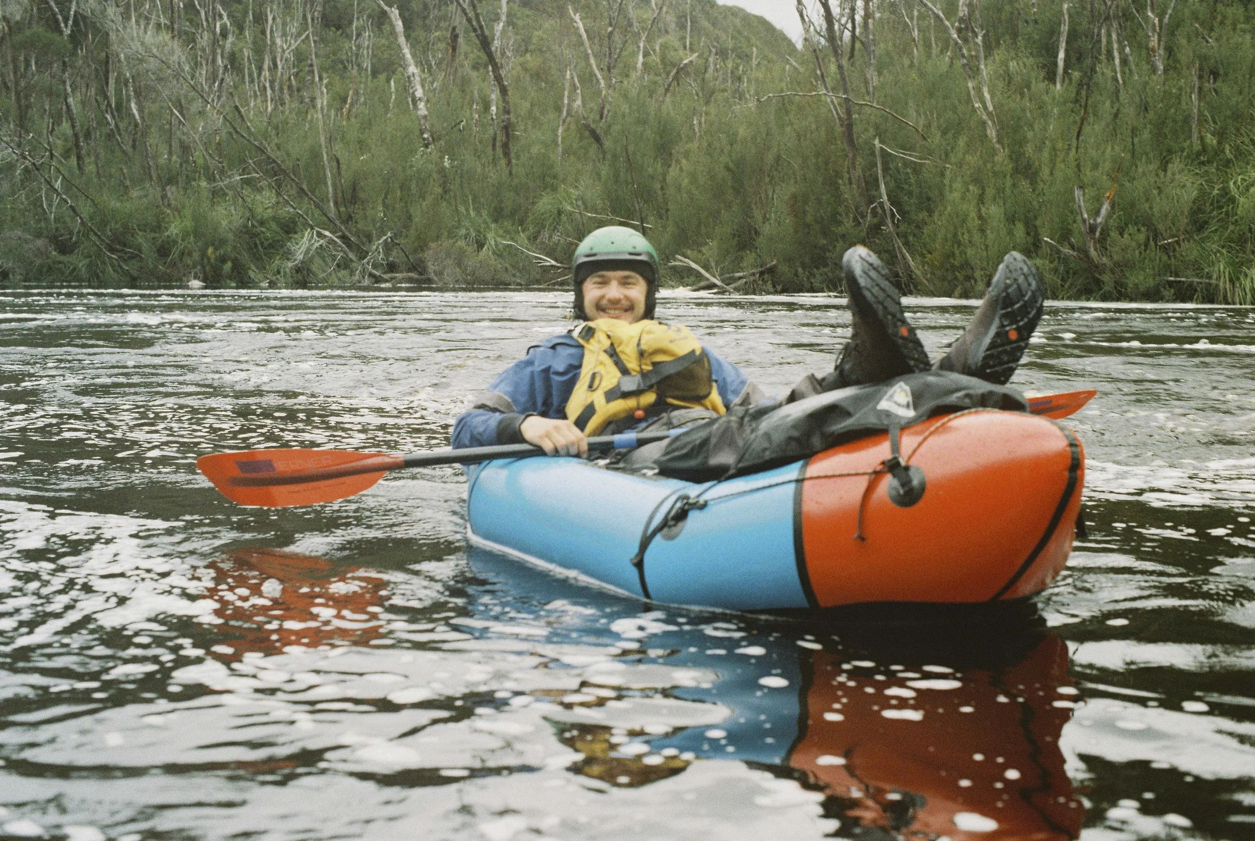
Gabe was in his element on the moderately high Crossing River. Pentax MX, Kodak Pro 100, Nov 2025.
The Crossing is a major waterway and as soon as we put in, one thing became very obvious: we were moving! The dense forest on the river bank was flitting us by, and paddling was quite optional. Our main task was simple: to avoid any obstacles and hazards, which weren’t particularly numerous. Still, the Crossing is a wild river and there is plenty of wood in it, which the unwary paddler could get swept under, or get their raft punctured by. In particular we were advised that the rocks are particularly sharp and the strata layers point upstream on this section, and that a lot of people had brought their rafts to grief by ripping it on the rocks. But as it turns out, running the Crossing when the Davey Gauge reads 9709 ML/day means all of these rocks are submerged!
After our paddle, Gabe said that this level ‘fit the river’s character’ and that our paddle was a ‘good day out’. I’d say this is a fair assessment by a competent white water kayaker. For the beginner packrafters out there I’d say 10 000ML/day on the lower Crossing is a reasonably high level and would need similar skills to running the Mersey White Water Course or Mellifont Street at Bradys. There was at least one feature we encountered that we agreed would be classed as grade three white water.
(Please note that from what we were advised, running the Crossing Gorge when the Davey Gauge read 10 000ML/day would most likely be a very bad idea for most paddlers and likely to result in serious injury, death, or at the very least, a shitty retreat from the Gorge on foot).
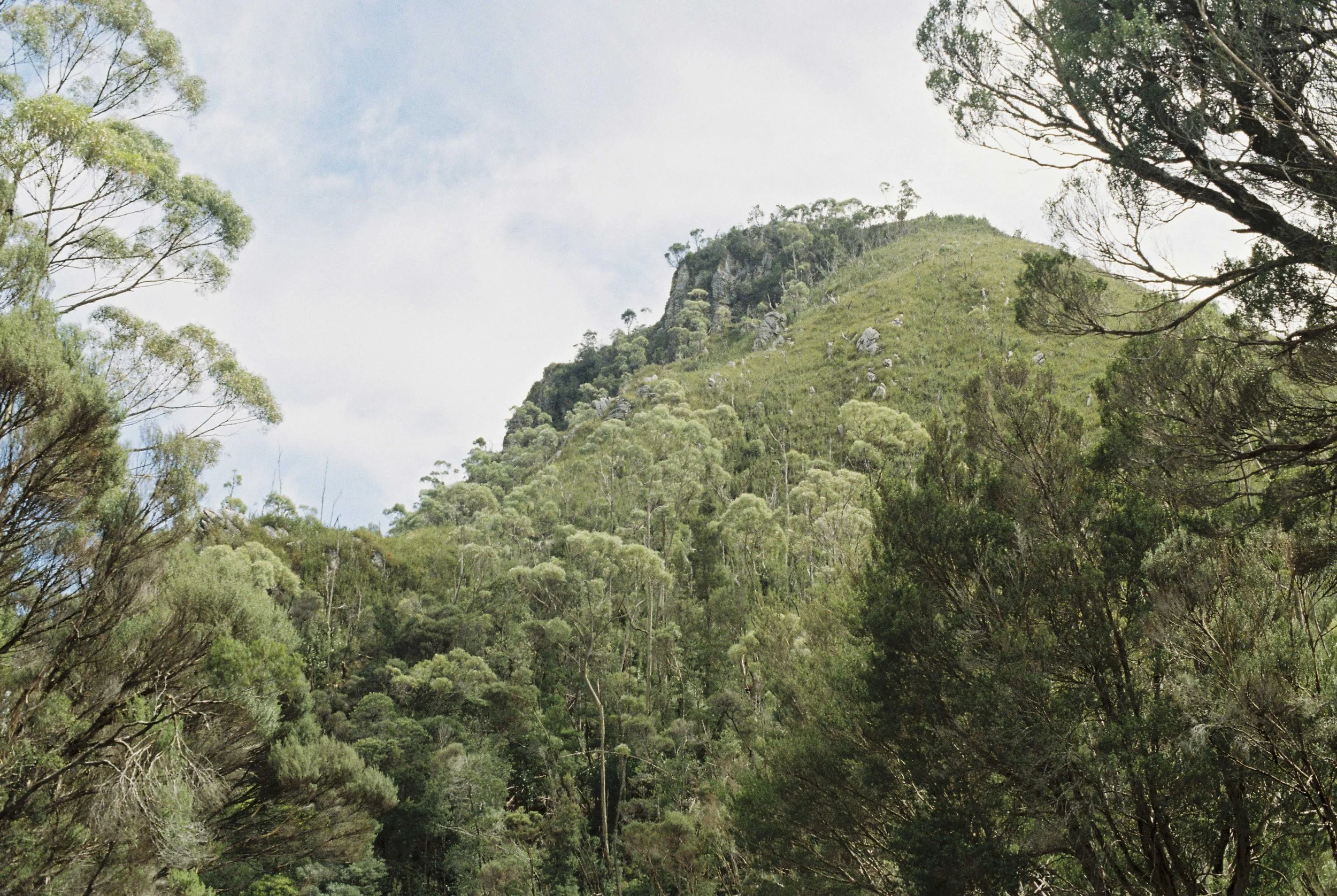
Scrubby Knoll. Pentax MX, Kodak Pro 100, Nov 2025.
There were two rapids of note on the Lower Crossing.
The first one was at a large island about 1.5km below our put in. We saw a horizon line on the main flow and I pulled over on river right. We agreed Gabe would go down first and signal if it was safe to run. He took the left fork in the river and caught an eddy after the first set of rapids. He held his paddle up. I followed nervously. I paddled around a hole and nearly scraped the boat at one point, making me think this line wouldn’t go in lower water. As it was, the line Gabe had picked was a good one, and we continued on together around the island. When we joined up with the main flow we looked back and saw a large river wide pour-over in the main flow, quite likely with a somewhat retentive hole at the base of it. We made the right call going left around the island. That pour-over could probably be portaged if needed on river right. The line we took around the island on river left won’t go in low water.
The second rapid of note was the constriction about 3km before the confluence with the Davey River. Some people might call it a gorge. Rocky walls rose up on both sides of the river, and there was an enormous boulder on river left. Once again, we agreed Gabe would go down first and hold his paddle up if it was safe to go. I caught an eddy and waited. Gabe went down, disappeared out of sight, but eventually I saw his paddle blade in the air. I figured that meant the line was good to go, so I pulled out into the current and headed for the horizon line.
It is a strange sensation, paddling into an unknown rapid in the middle of the South-West. My emotions were a mixture of nervous stress and excitement; but above all: utmost focus! The current sped me up and I headed towards a series of drops. The river was really getting squeezed here!
The line became obvious as I got closer; I mainly just stuck to the middle of the flow. I did have to paddle with some determination to go around some rather large and chunky holes though. At least there was no wood in this section of the river. About halfway down the rapid Gabe pulled out one of the eddies on river right, and continued to lead the way down. We paddled the rest of the rapid together, and Gabe got very excited when we went past an even bigger hole. Later he said that with a more experienced crew he would have loved to boof over that rock. Typical kayaker! I was quite happy not to go anywhere near that giant hole!
Soon, the gorge opened up, and we were through. Chatting later, it turned out that Gabe wasn’t actually signalling to me, he was just sitting in an eddy doing a bow draw or something, assessing the rapid below. Oops. We agreed next time a whistle blow could signal the rapid was good to go if we couldn’t see each other.
The only other obstacle we found was a large tree across the entire river not long before the confluence with the Davey. We just glided over the top but at lower water it may need to be portaged. It looked fresh.
It took us one and a half hours from our put in to the confluence with the Davey River; a distance of about ten kilometres. Three days of walking, one and a half hours of paddling.
Just like that, we were down the Crossing River.
And we still had both our paddles!
-A.S., Sandy Bay, 19/12/2025
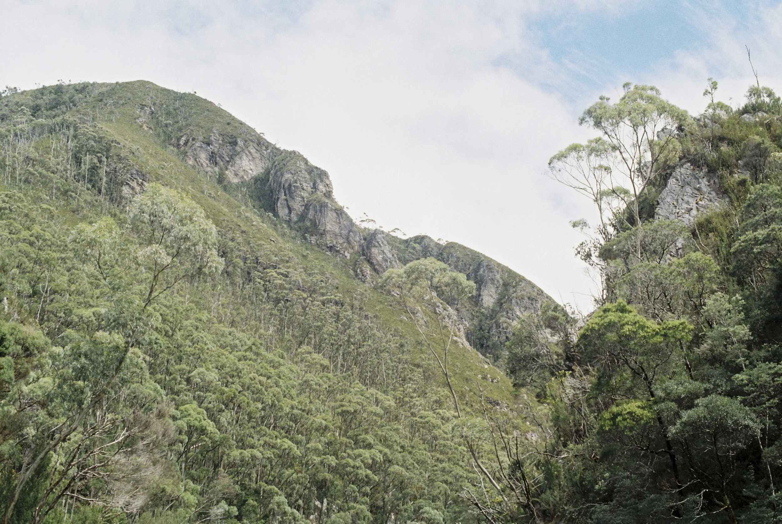
Approaching a constriction on the Crossing. Pentax MX, Kodak Pro 100, Nov 2025.