The Panther of Tolmie

I saw the creature cross the road, but at first I wasn’t sure what it was.

In fact I’m still not sure what it was.

Are there black panthers living in the Victorian Alps?

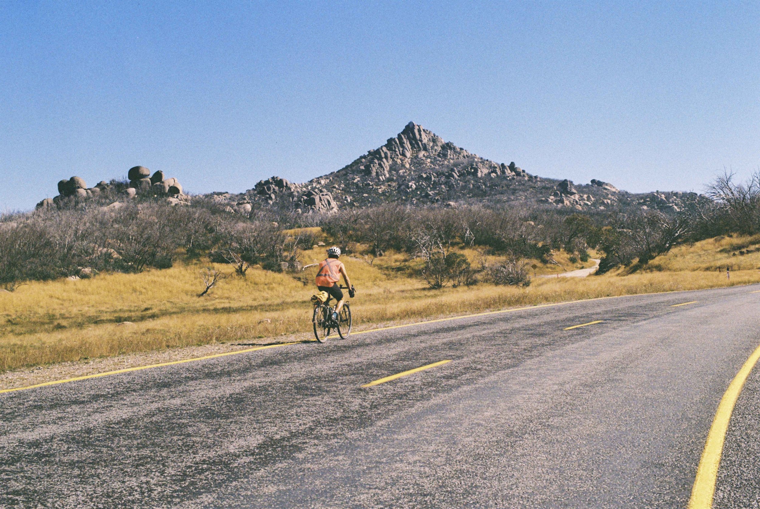
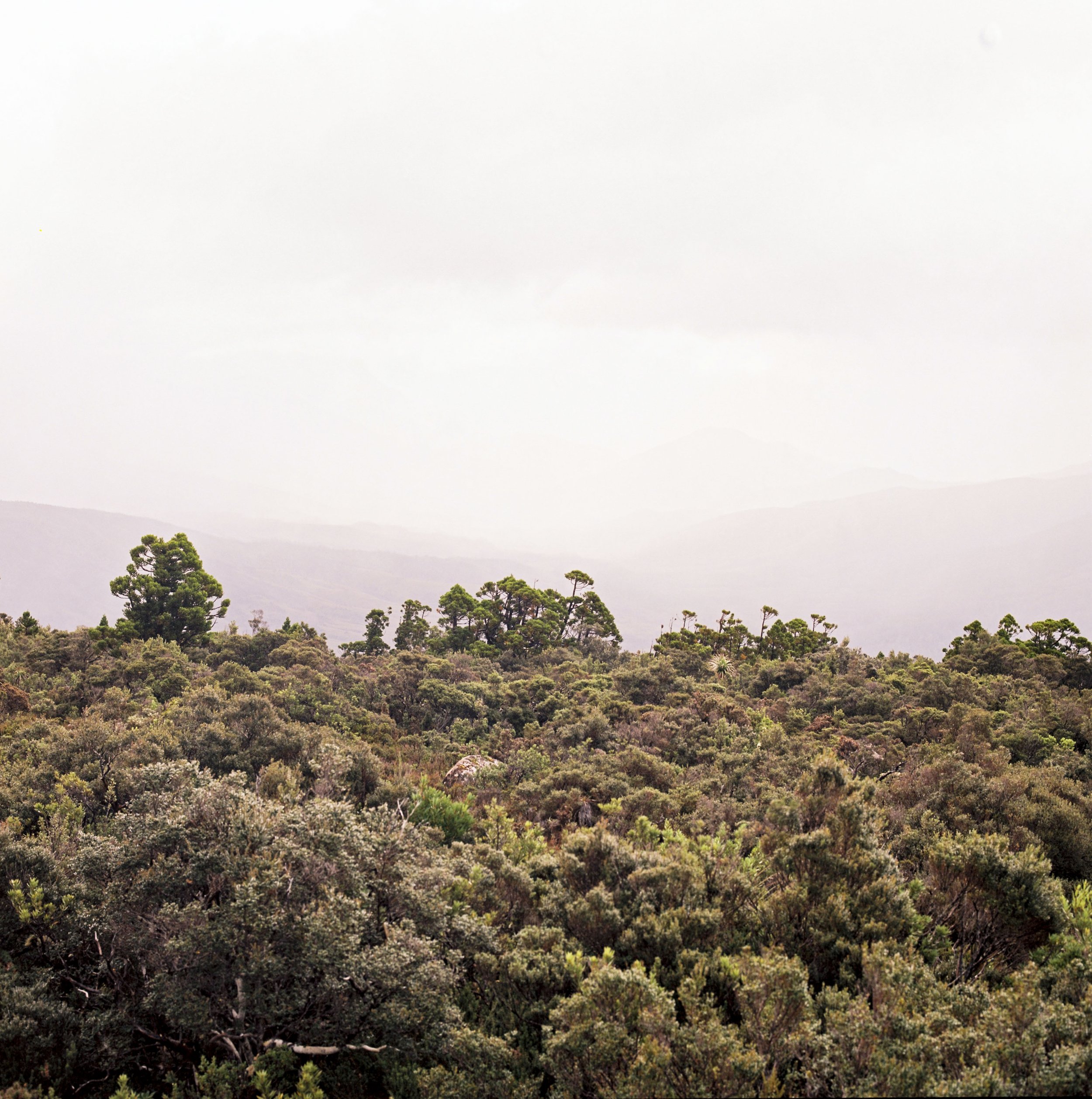
We were riding our bikes from Mansfield to Whitfield, an obscure leg across the Victorian Alps. We found ourselves climbing up onto a reasonably tall range, perhaps up to around 1200m above sea level. We had entered an extensive and undulating plateau, giving home to native eucalypt highland forest. There was a small town we passed through, called Tolmie. From there it was a long stretch of road through the native forest, and eventually winding down the hill, to the town of Whitfield.  

We had started the descent, and I was ahead, Pat riding a few hundred metres behind me.  It was a fair gradient and I leant into the corners a little bit. The sun was out, but it was casting long shadows into the forest in the late afternoon light.

The road from Tolmie to Whitfield. Note that there is no large black cat visible in this photograph.

I hit a straight and looked ahead. About half a football field length ahead of me, I spotted a creature crossing the road. At first I thought it might have been a wallaby, because it was sort of bounding across the road. As I got closer, and that happened pretty quickly as I was traveling at high speed, I realised it couldn’t have been a wallaby, because it was completely black, and it was the wrong shape. It was bounding across the road on four legs.

 It must be a wild dog, my mind figured. I was now only a basketball field length away. However, as it hopped off the road, it extended a long black tail, that was even in width all the way to the end and was at least half the length of the entire body of the creature. If that tail belonged to a dog, it was no dog I had ever seen.

Then, the realisation hit me. The only thing that could have a tail like that and move like that is a cat. But this realisation posed a problem, because this cat was enormous. The ridge of its back would have reached up to my mid thigh if I was standing on the road right next to it. This was no ordinary feral cat. We are talking a cat that is nearly four times the size of a household cat. I got a clear view of it, and I was probably only about 20 metres away from it when it disappeared into the trees.

 I longed to stop and discover more about this creature, but gravity was calling me down the slope and I did not slow down as I crossed the tarmac where the paws of the creature had been only a few seconds ago.

Part of my mind still wasn’t convinced, but there was also an exciting elation. What if I had just seen a black puma? Then I realised that there were probably no black pumas anywhere in the world, let alone Australia.

Black panthers on the other hand, are a different matter entirely.

Church in Whitfield

We rolled into Whitfield and went straight to the pub there. We had just sent arguably one of the best descents of the whole trip, with or without any big cat sightings… We were grinning from ear to ear as we ordered a pint. Wearing our bikie clothes, we were dressed a bit differently from the majority of patrons at this very stylish pub, packed with weekend trippers from Melbourne, the big smoke.

The waitress behind the bar asked us about where we had come from, and we told her that we had just come down the hill from Tolmie. I asked her where she was from and it turned out that she was a local and had grown up in the area. I told her about my encounter with what appeared to be a large black cat. At the recounting of my sighting, her eyes went wide and she asked me:

’Are you shitting me?’

When I convinced her that I was simply recounting what I had seen, she said:

‘The local farmers near where I grew up, they’ve been seeing a big black cat for years. No one has shot it, or has even taken a photo of it. But we call it the Panther of Tolmie.’

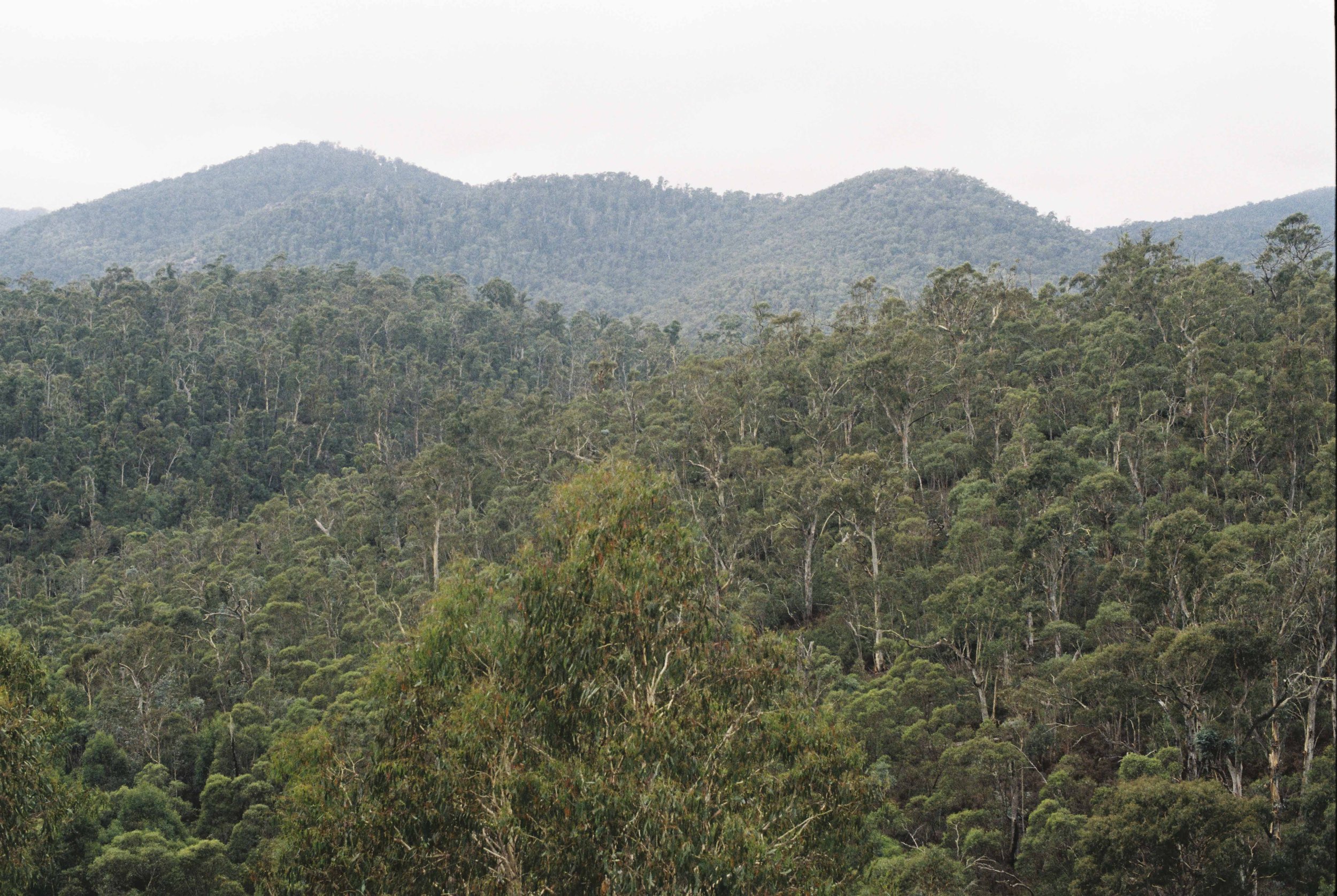
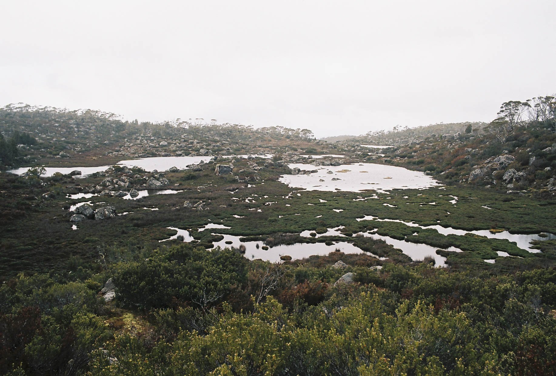
The view from the Omeo Highway.

Now to add just one more dimension to this story, I shall note here that a few days later we rolled in to Bright and we caught up with our mate Pauly who had just managed to score himself a sharehouse after living in a van for a good long time. Pauly grew up on a sheepfarm, in the Victorian town of Strathbogie. When I told him the story of my sighting of the Panther of Tolmie, he just shrugged his shoulders and said “Back around where I grew up, we had the Strathbogie Panther.’

 So that was settled then. The creature I had seen cross the road must have been a black panther. Even if one day it turns out that the Panther of Tolmie is an unusually shaped large, black dog.

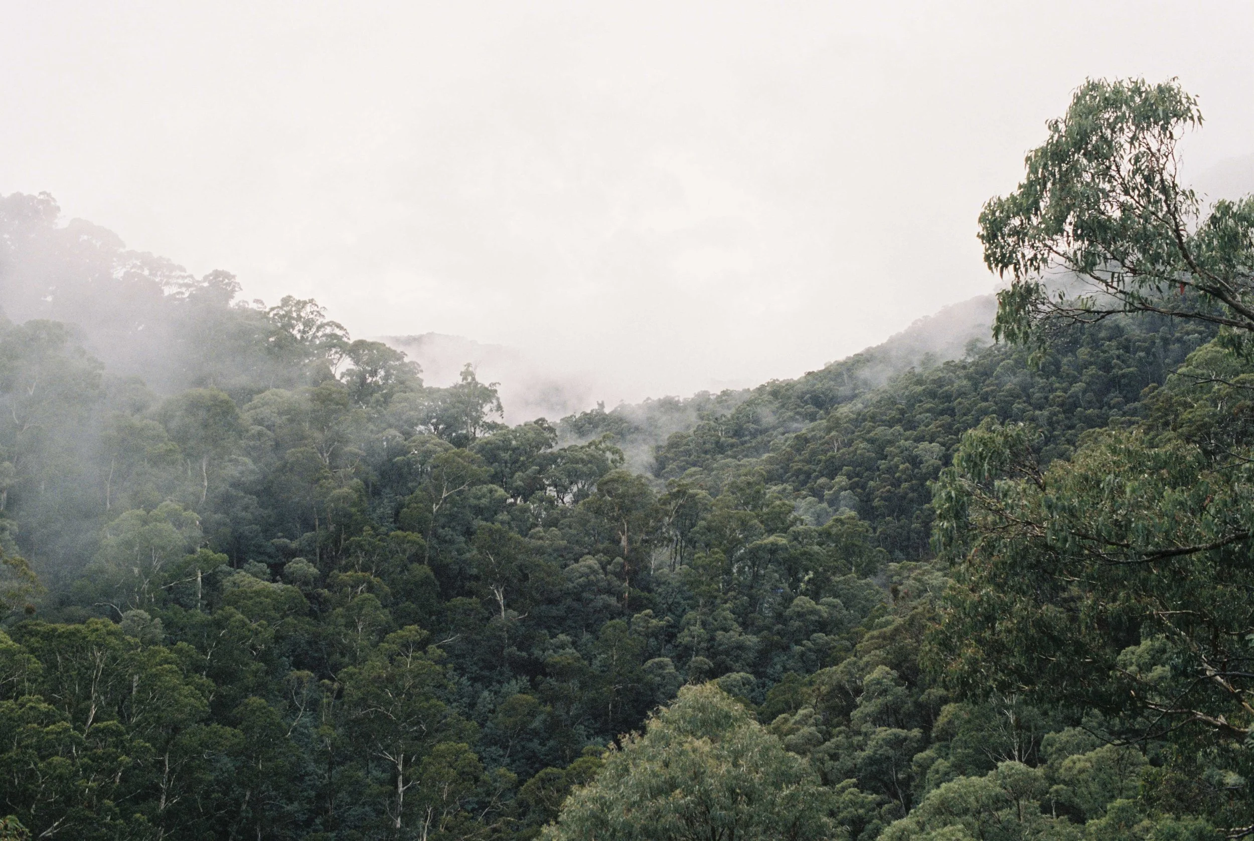
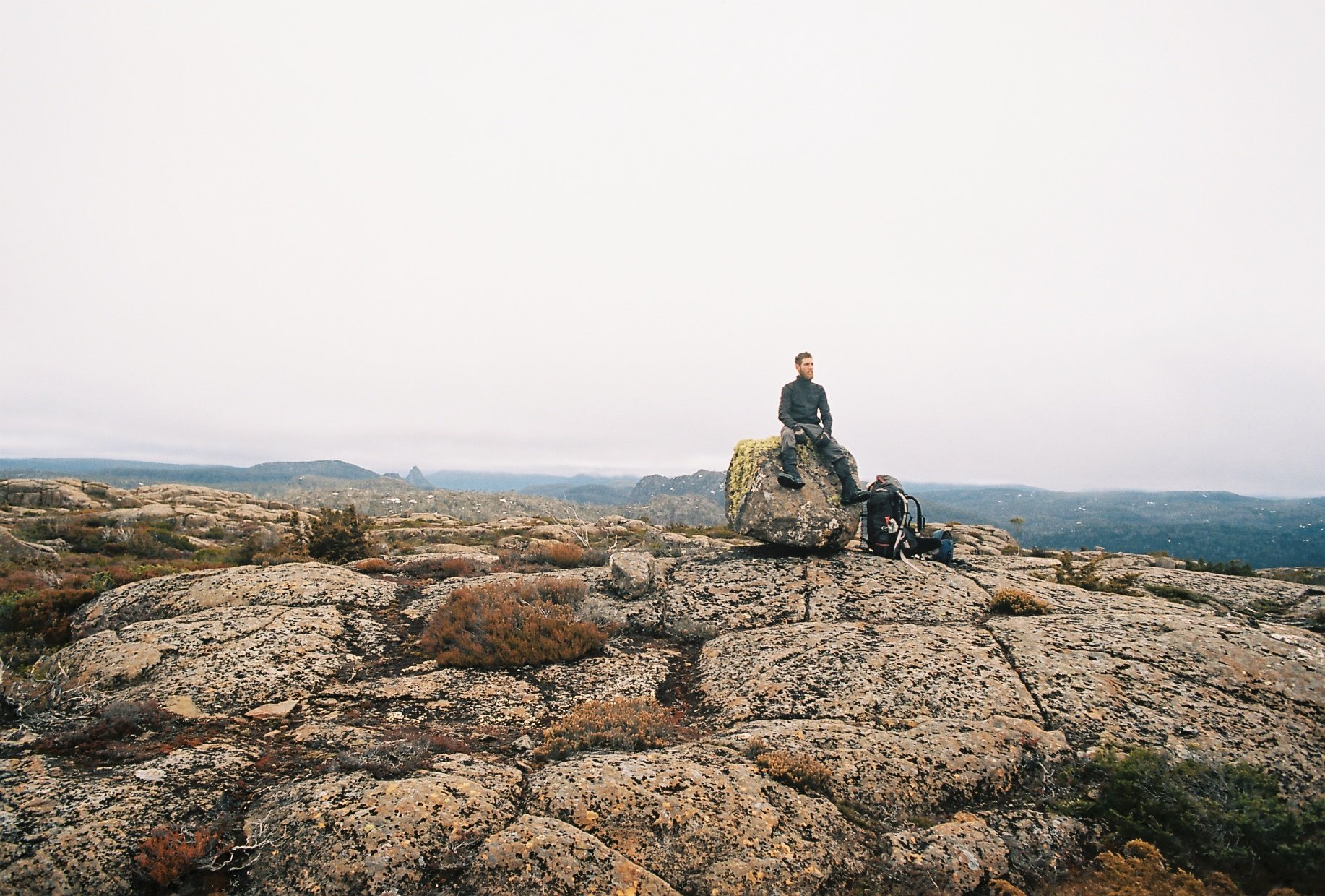
The back of Mt Buffalo.

The Horn of the Buffalo

Mt Buffalo is a bastion of granite that stands apart from the surrounding mountains of the Victorian Alps.

Pat Kirkby rolling across the tarmac on the Buffalo Plateau.

It was day 10 of our trip from Hobart to Canberra. We had the luxury of staying in the home of a person we didn’t know and who wasn’t there to host us, but gave us their welcome nevertheless, through the connection of a mutual friend. We simply rocked up to this house in Porepunkah, found the keys in the described spot, and made ourselves at home. There is something to be said for being able to wash smelly clothes and smelly armpits with hot water. It’s only when we are deprived of certain luxuries that we fully recognise how glorious they are! There was a huge level of trust on behalf of the owner of this abode to give two smelly cycle tourers free reign of his home, and we showed our appreciation by leaving the place precisely how we found it, plus left a bottle of wine, a block of chocolate and a little thank you note expressing our gratitude.

So many shapes and stories in this granite.

We had to stop at the Porepunkah Pantry before tackling the climb up to Mt Buffalo. I had made it my personal mission to identify the best sausage roll along our route through the high country towns and here was yet another opportunity. At some point during our trip I made a joke to Pat that we should call our ride ‘Tour de Sausage Roll’. Of course, Pat abstained and I don’t think he had a single sausage roll the whole trip, preferring his trustworthy carrots dipped into hummus. I would say the Porepunkah Pantry sausage roll was second best only to the sausage roll I ate in Mt Beauty, at a cute little café whose name I cannot quite remember. And so the question of the best sausage roll of the Victorian High Country may remain shrouded in mystery, similarly to the origin of all the big cat sightings in that part of the country…

A boulder problem on the Leviathan.

We hit the ascent at around 11AM, and there were quite a few middle aged men in lycra who overtook us on their roadbikes. It seemed that we have arrived to the bike riding capital of Australia, with Bright only a few kms down the road. The distance of the climb up to the Chalet was 20km in total, and it was a very steady 5% gradient the whole way. This meant that we gained about 50m in elevation for every kilometre that we rode. We had left our panniers with all our overnight gear at our unknown friend’s place in Porepunkah, so we cruised up this hill in about 2.5 hours. The gradient never really picked up, and I think we only pulled over once to have a very quick snack stop. The sun was out and we were feeling good when we topped out the hill and rolled in to the chalet and the main tourist area.

Perched on the top of the granite cliffs, we could feel the updraft that so many flyers utilise here, the valley of the Owen River splayed out before us. The launch platform for the hang gliders was a terrifying ramp to nowhere, and we could barely imagine the guts required to launch off that thing into thin air! While we ate our lunch there were school groups milling about, waiting their turn for abseiling, and in particular one old geezer who called us mad multiple times and said he was puffed after walking 100m from his motorbike to the lookout. We restrained from making a reply but thought that some exercise and lack of smoking may be of some benefit to this gentleman.

Our objective for the day was to ride all the way to the end of the road and climb the high point of the Buffalo range, called the Horn. I came to call it with some affection, ‘The Horn of the Buffalo’. The road from the chalet weaves across the alpine plateau, dodging a lake, and giant granite boulders, to climb up to a high pass near the Cathedral, and passing this high point in the road, we popped around the corner and there it was, the Horn of the Buffalo, revealed from one moment to the next in its full glory; a conical peak, rising well above the plateau surrounding it, and with a distinct white boulder forming its very summit. Seeing the Horn up close for the first time made me pull over, stop and stare for a couple of minutes. The skyward thrust of this peak drew the eye like a moth is drawn to the flame, elevating the spirit of the beholder in an upward spiral.

Behold! The Horn of the Buffalo!

We staggered up to the summit after parking our bikes at the end of the road, and took in the view that lay around us. From the Cross Cut Saw to Mt Hotham, the Victorian Alps lay surrounding us. The burnt plateau of the Buffalo directly below our feet, and the sun high up in the blue, blue sky.  Giant granite boulders scattered across the golden plateau, remnants of glaciers and ice ages, distant memories passed.

On our descent we pulled in to check out a giant floating boulder called the Leviathan. Pat and I disagreed on the pronunciation of it, but we agreed that it was a place of some spiritual significance. Being an overhanging rock shelter, the energy permeating the place had an undeniable human presence, stretching back for aeons. We took turns to lie beneath the floating block weighing thousands of tonnes on a wavy rock that we felt people must have slept on for thousands of years.

Later a friend of mine who lives in Bright sent me a paper written on the Aboriginal people of the Mt Buffalo area (“Mogullumbidj: First people of Mount Buffalo by Jacqui Durrant’). Apparently the Mount Buffalo area gave place to ‘sages of the rocks’, in other words hermits, who relied on gifts from visiting tribes to survive. These stone ‘druids’ would come up with sacred dances and songs, which they would pass on to their visiting peers. It is worth noting that Mt Buffalo is the sole location of the Sallow Wattle (Acacia phlebophylla), which contains high levels of the psychedelic drug DMT (dimethyltryptamine).

The descent from the chalet to Porepunkah was a dream ride. The descent is unbroken for 20km and the road surface good, with the severity of the corners clearly indicated by speed recommendation signs. After what seemed like going downhill at high speed for a long time through forest, the view opened up and I was surprised to see that I was still very high above the valley and so had most of the descent to go still. And it went on and on, corner after corner, as we glided effortlessly back down the hill, and unrolled all the potential gravitational energy that we had stored up on our way up during the climb.

It was the greatest ride either of us had ever done, to ride from Porepunkah up to the Horn of the Buffalo and back in a day. And through this ride, we had formed a close connection with the landscape, and the history embedded in it.


The view from the Horn, looking down on the Buffalo Plateau. Cathedral in the distance.

Graveyards and Lullabies

It’s an odd thing, striking out on a long journey. It never feels very real on day one. We plot and plan for so long that when the day finally arrives, it’s never quite as we have imagined it would be.

The touring kit, probably weighed about 40-45kg all up including the bike. Note the cardboard tube attached to the back rack. It contained our rolled up ‘Restore Pedder’ banner. The tube was completely wrapped up with sticky tape in an effort to stop the cardboard from dissolving in the rain.

We departed Hobart early in the morning of Day 1. It was the 16th March, 2022.

I encountered difficulties with my front shifter upon hitting the first climb up to Glenlusk. I eventually figured out that the new waterbottle holder I had put on the previous day was blocking the path of the front gear mechanism and so it couldn’t shift down to granny gear. Once the waterbottle holder was removed, the issue was mainly solved and we were able to continue.

Pat shot out as soon as we hit the incline, and I was left to my own devices, huffing and puffing, wondering if there was anything in my panniers that could have been left at home. Pat waited for me at the top and we took the winding descent to Molesworth. My greatest regret of the trip ended up being: not picking the overladen blackberry bushes along this section of the road!

We stopped at New Norfolk to get some water, then continued along the course of the Derwent River to Gretna, where we read about the life of the bushranger, Martin Cash. Apparently after he broke out from Port Arthur, he ended up at the inn near Gretna, to have a drink but it wasn’t long before the police arrived. After a shootout in which the police were subdued, Martin went back in the pub, finished the bottle of brandy, then left in a hurry.

The glaciated nature of the Central Plateau is undeniable. 2019.

The Central Plateau of Tasmania is an enormous highlands region bounded by the Great Western Tiers to the north, Lake Rowallan and Lake St Clair to the west, the Lyell Highway to the south and the Midlands Highway to the east. Looking at a geological map of Tasmania, the Central Plateau is arguably the most obvious geological feature.

I personally think of the Central Plateau as the heart of Tasmania, being central and of an elevated position.

Undulating grazing country, between Hollow Tree and Bothwell.

Approaching the Central Plateau from the south leads one to ride through a dry, undulating country that gradually increases in elevation. There was a remarkable section of sealed road from Hollow Tree to Bothwell. This was an arid landscape of brown farmland, mostly dried out pastures giving home to sheep, except for the greener patches where the giant boomsprays operated. There were quite a few abandoned weatherboard houses, most of them in disrepair, remnant artifacts from the 1800s. One house looked either haunted by ghosts or squatters. In hindsight, I’m not sure which.

When we got to Bothwell, we set up camp at the free caravan park by the graveyard.

The gravestones in Bothwell stood nearly as crooked as the branches of two trees that were peculiarly identical.

Bothwell to Steppe was 34km, a distance which took us four hours to ride the next morning. We must have gained about 700-800m in elevation; the ascent with our load was slow and reasonably grueling. We had our morning break at the historic Steppes Household, home to the constable appointed in the 1860s, a household which eventually turned from outpost to post office. There was a cute A frame hut in the garden, which used to belong to Jack Thwaites. It had a Currawong sympol on it and made me want to spend some time inside but alas it was locked. There was also a great art installation near the homestead by Steven Walker; a circle of 12 stones with metal engravings depicting some local animals and plants.

Tassie Devil by the side of the road, on the way to Miena.

From Steppe to Miena we were battling steady headwinds and we drafted behind each other to ease progress. We had left the sheep paddocks behind and were riding through native sub alpine forest dotted with cidergums and underlaid by pink mountainberries. Wallabies darted among the scrub from time to time as we rode past.

At one point we pulled over to take a break by the side of the road, and I started watering a particularly large eucalypt tree. Suddenly, I found myself leaping into the air uncontrollably! I had been bit on the achilles by a rather grumpy bull ant, who was letting me know that I have stood on their nest. The ground was swarming with inchmen so I decided to finish watering the tree from a different location.

The hut of Jack Thwaites, at the Steppes Homestead near Miena.

We passed the dam on the Great Lake with relief, as this meant we were close to our lunch stop. It was 3pm so it took us about 6 hours to ride 64km. This was slow progress indeed. We had a hot beef-shitake-miso-lunch then cruised on.

The following section took us past the shore of the Great Lake, through undulating forest, and a smattering of shacks along the way. Tin roofs and walls, large windows and a healthy wood stack seemed to be common themes. The bush through here was serene. The wind had calmed and there must have been rain earlier as the road was wet and the air smelt as it does after fresh rain.

The final climb up to the Great Lake Lookout wasn’t as bad as we anticipated. It was funny, I seemed to hit a rhythm on the bike which I felt I could sustain for a long time. But when we finally stopped I felt I couldn’t move.

We set up camp on one of the viewing platforms at Pine Lake, among the Pencil Pines, who gave us shelter from the wind.

The pines played their lullabies, leaves whispering in the wind.

To be continued…

Strange Meetings

A photo essay of sorts… from the Victorian leg of our recent Australian Alps ride.

The eagle, perched high above. Near the top of Mt Dandenong.

Golden faces in the trees. Forest near Warburton.

The buddha. Sitting still for some time. Not far from the Yarra River.

Sambo, the samber deer. ‘Why am I tied to a tree?’ he says.

Patty K putting the pedal down as we roll across the Yarra Ranges.

Rolling across the Snowy Mountains

The Thredbo River used to be called the Crackenback River. The story went that this was country so steep that it would crack a man’s back if he tried to ride a horse through it.

Pat Kirkby doing his best cowboy pose.

The head of the Crackenback River isn’t far from Mt Kosciouszko. Being the top of Australia, it is fitting that this section of the Great Dividing Range is named the Snowy Mountains. The tallest section of the Snowy Mountains is the Main Range of Mt Kosciouszko and is notorious for the coldest weather and deepest snow in Australia. The scoured alpine plateaus are no place to seek shelter from the wind.

The Alpine Way is a sealed road which connects Kanchoban to Jindabyne and reaches up to 1560m at Dead Horse Gap (the joke is, it was the climb that killed the horse). In sections, tall, orange snow poles mark the edge of the road. If the Alpine Way was not cleared in winter with snow ploughs, no one would be driving on it.

Brumbies abound on the high plains of the Snowy Mountains. There are at least two in this picture. ;)

We recently rode our bicycles from Hobart to Canberra with a good friend of mine, Pat Kirkby. Our journey took us across Tasmania’s Central Plateau, then the Yarra Ranges, the Victorian Alps, then into the Snowy Mountains.  We rode the section from Corryong to Jindabyne in three days, but had a rest day at Tom Groggin due to 40mm of rain, the only day during our 27 day trip where we didn’t ride our bikes at all.

As we rolled into Tom Groggin on day 18 of our trip, I saw a mob of emus close up. As I was riding my bike slowly up a gravel track, the emus kept pace with me walking in front of me. Slowly but surely, I got a bit closer and closer, so I was able to observe their movements for some time. However, there came a decisive moment when I got too close for their comfort and they all bolted. As they ran, they seemed to leave their heads behind while the rest of their body moved forward, a bit like one might expect a cartoon character to behave when startled.

We took our rest day at the lush campsite of Tom Groggin and found that the kangaroos were tame and would come up to us and nudge our hand to give them food. We declined politely. The birds were a bit more cheeky and would steal any food left unattended on our picnic table within seconds. In the end, we spent most of the day inside the tent, listening to sound of rain on the fly. We broke out a pack of cards and played a game called rummy.

The eucalypt forests were lush on the lower slopes of the Snowies.

We struck out the next day to get up the hill to Dead Horse Gap. We were anticipating a steep and grueling climb.The reality did not end up being as difficult as we anticipated, probably because it was day 20 and our bodies were getting pretty conditioned to riding up long steep hills with our fully loaded panniers. We had also figured out that given sufficient snacks, just about any hill becomes possible. Nevertheless, the first pinch of the climb out of Tom Groggin was along a very steep road, perhaps 10 percent gradient for a solid 2-3km. The road was narrow and steep and the traffic included hundreds of motorbikers, camper trailers, semi-trucks but weirdly, no other cycle tourers. Luckily for us, most of the traffic seemed to be heading the other way.

We gained elevation quickly, especially on the first section of the climb as it took us onto the crest of a ridge which continued up to the shoulder of the Rams Head Range. As we climbed, the eucalypt trees got gradually shorter and soon we had climbed into the cloud layer where all was still, damp and cold. The forest around us had been burnt three years ago, and while the damage was extensive, it was also clear that the forest was regenerating, with new seedlings springing up and epicormic growth clearly visible on the trunks of the eucalypts. The mist swirling around us created a haunting atmosphere…

Snowgums burnt in the 2019 fires.

To be continued…

The four directions

If rain doesn’t fall for a long time, we call it a drought.

If rain falls for a long time, we call it a flood.

If there is not enough food, we are having a fast.

If there is too much food, we are having a feast.

If we are too far from the fire, we get cold,

If we are too close to the fire, we get burnt.

If we have enough air, we are breathing,

If we don’t have enough, we are drowning.

-A.S.

South

West

North

East

Was it worth the gambit?

At the end of the trip, I tend to ask:

Was it worth carrying the camera?

Fire scars on top of scrubby ridgeline. 2022, Hasselblad 500C/M, 150mm Carl Zeiss Sonnar 150, Ektar 100.

Of late, I’ve been carrying a medium format film camera on some of my trips. It’s a Swedish camera, made in 1980, a certain Hasselblad 500C/M. It takes very nice photos.

It’s more than 40 years old, and operates impeccably. It has no electronic components, so there is no battery to charge up, or replace. There are twelve shots on a 120mm wide roll of negative film. I tend to shoot one roll of film per trip.

The total weight of the camera kit, including tripod is about 4kgs. So when I head into the hills, and I’m climbing some steep hill with a big pack on, sometimes I wonder about my choice of equipment. Is it really worth carrying all that weight, for 12 shots?

Well, I tend to say to myself that if I take a single good shot, then it was worth carrying the kit. One good shot is all I expect from a trip.

King Billy Pines on scrubby ridgeline. 2022, Hasselblad 500C/M, Carl Zeiss Planar 80, Ektar 100.

It doesn’t always happen, but every now and then, it all lines up and I catch the moment in time.

Herb field, tarns, view toward the crooked spire. 2022, Hasselblad 500 C/M, Carl Zeiss Sonnar 150, Ektar 100.

So, was it worth the gambit?

Into the scrub

“I must not fear. Fear is the mind-killer. Fear is the little death that brings total obliteration. I will face my fear. I will permit it to pass over and through me. And when it has gone past I will turn the eye to see its path. Where the fear has gone there will be nothing. Only I will remain.”

-Frank Herbert, Dune

Behold, the South-West scrub!

I used to be scared of the scrub. I feared to enter it on my own, to leave the path and to immerse myself in it. Part of this was rational fear. What if I never find my way out of here? A legitimate concern. Or, will anyone find me if I fall over and hurt myself and I cannot move? (Probably not.)

And so I worked on the steady step. The step that never falters and never falls, it simply keeps going in the correct direction with steady determination. Eventually, the steady step always arrives to its destination. Although the destination is not always what one expected at the outset.

Fagus, above sub-alpine tarn.

The scrub appears to be our adversary. It makes walking difficult, it blocks our way and it requires a lot of effort. It can be painful, exhausting and frustrating to make way, when there are millions of woody limbs sprawled out in all directions, preventing easy progress. But if we spend enough time in scrub, the battle to make progress becomes a dance, one we get accustomed to, and one whose rule we slowly but surely learn.

I would define scrub as low, dense vegetation. Sometimes it might only be waist height, other times, it could be several meters tall. The floor of a forest may be ‘scrubby’, but that’s not really what I would call scrub.

Some of the thickest scrub in Tassie occurs above the forests, in the sub-alpine regions. When the fagus shows up, the myrtle beech trees become dwarfed, and scoparia appears, we know we have reached the dreaded zone. Between the luscious forests and the scoured alpine plateaus, the sub-alpine band awaits with deviousness.

800-1100m in elevation is the Tasmanian ‘death-zone’.

As a friend of mine recently pointed out, ‘The thing about this scrub is that it doesn’t really bend and it doesn’t really break.’ Therefore, progress is rather difficult. In order to get through, one must contort one’s body, and wriggle when stuck. Brute force is pretty much useless as a long term survival strategy. It mainly just wears a person out. Although sometimes, it is required. Especially through bauerea. But steady progress in scrub can only be made by acting like a quoll or a wombat. We must become either very nimble, agile and flexible, or we must get low down to the ground, dig in our teeth, and make a tunnel.

The use of a machette would not only be disrespectful to these hardy sub alpine plants, it would also be mostly useless. More energy would be expended in hacking through thick woody limbs than the amount of effort required to pass through, perhaps snap a few branches by accident and leave a barely noticeable line of weakness.

The best thing about scrub is that at some point, we get out of it.

Bushwalkers tend to funnel into natural bottlenecks on popular walking routes, creating these lines of weakness in the scrub, for subsequent parties to follow. The sad part is, eventually most of these lines of weakness become well worn pads, and some of those pads become well trafficked walkways that offer no resemblance to the original experience. Safe passage becomes matter of fact when there is a clear cut track.

Safe passage through scrub is never guaranteed. Skewered eye balls, broken ribs, heat exhaustion, dehydration, are all very real risks when one spends extended periods of time in the scrub. Progress is painstakingly slow, in some places as little as 1-2km a day, and that’s only through severe effort.

Let the scrub be the scrub. Don’t try to thin it out, order it, tame it, cut it or get rid of it.

Take it or leave it. Just don’t bash it.

Double Exposures

“Just because our efforts are futile, it doesn’t mean they are meaningless.” -A.S.

A sinkhole and a distant ridgeline. 2020, Hasselblad 500C/M, Carl Zeiss Planar 70mm. Ektar 100.

A double exposure happens when the film inside a camera gets exposed to light on two separate occasions, creating two overlapping images on the same piece of film.

In my experience, most of my double exposures have occurred on my Hasselblad 500C/M, and none of them were intended. Since it’s a modular camera, it is possible to wind the shutter up while the film canister is detached. Therefore, it is possible to take a photograph without forwarding the film. Since both photographs are moulded together, it means we didn’t capture the single subject we intended each time. It’s easy to be disappointed, and to feel that both photographs were taken in futility.

King Billy forest and glacial lake. Hasselblad 500C/M, Carl Zeiss Planar 70mm.

But double exposures have their own value and not only because they can help us learn how to use our camera properly.

The result of a double exposure can be a much more interesting image than what we originally intended.

Van on Bruny, tree trunk. Hasselblad 500C/M, Carl Zeiss Planar 70mm.