To go up, or turn around?
The gully was loose and it was steep, the rock walls of quartzite rose up on both sides of me. The only way onward led up onto a boulder, then to a steep ramp and a face of rock, with a large and solid tree near the top of it, growing out of the rock. Beyond the tree, I could see some kind of natural rock platform, which could have been the way to the summit, or the top of yet another cliff.
It was at that point I wished I had brought a rope.
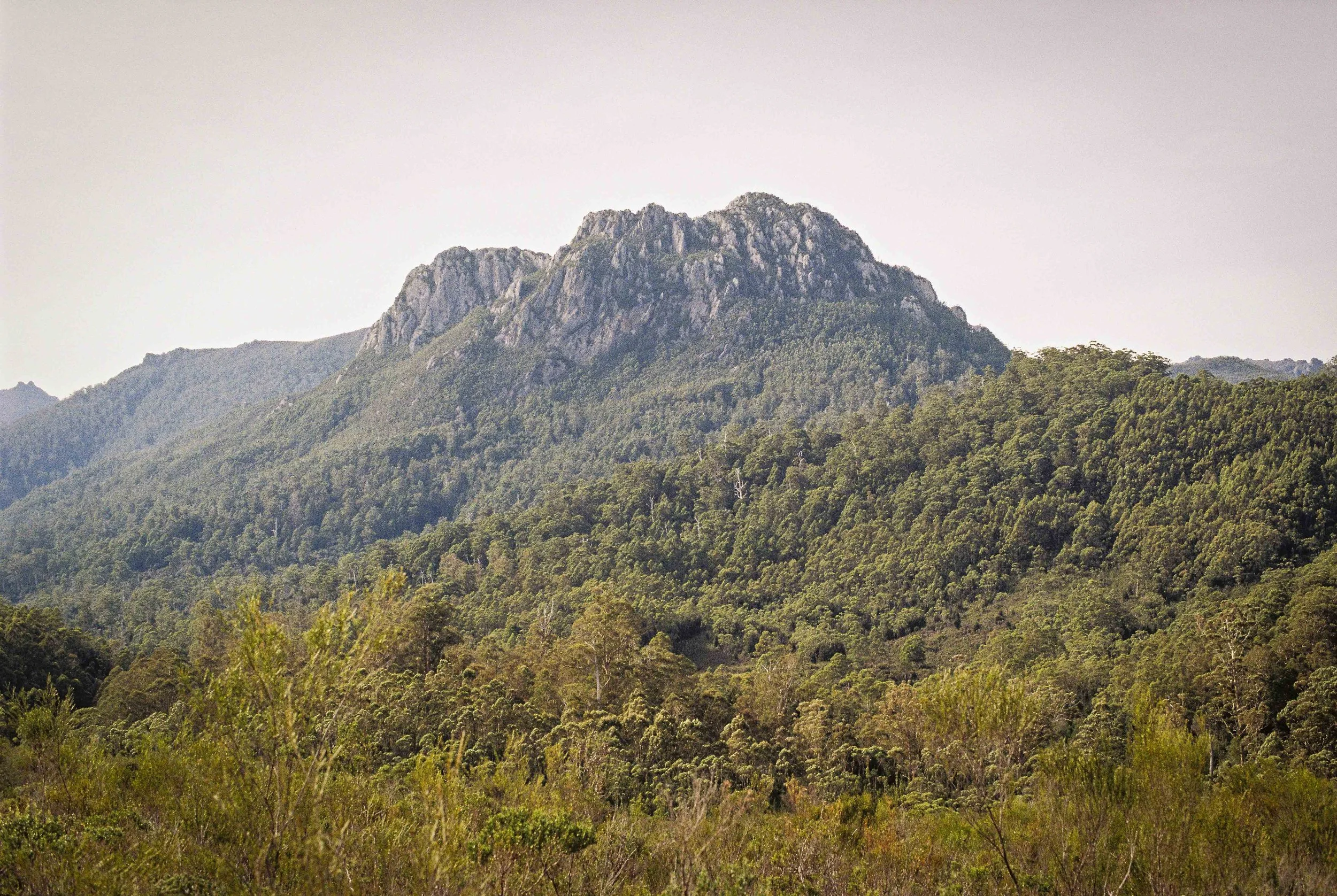
The mountain called me to it. Pentax MX, Kodak Image Pro 100, May 2025.
I had left my camp by the river at first light to climb the mountain that shall not be named. For years, this mountain has called me to it, and finally I was here, ready to meet it. I took my pack with me that morning, with my day-kit and left my brown tent set up on the brown buttongrass plain among the brown tea trees with all my sleeping gear in it. I figured it would be best to be back at camp by dark.
I took my torch, map, compass, first aid kit, warm layer, raincoat, camera, lunch, and water for the day in my canvas pack. I had my scrub gloves, packrafting boots and canvas gaiters on. The way to the top would lead through the forest. Then to the base of the cliffs.
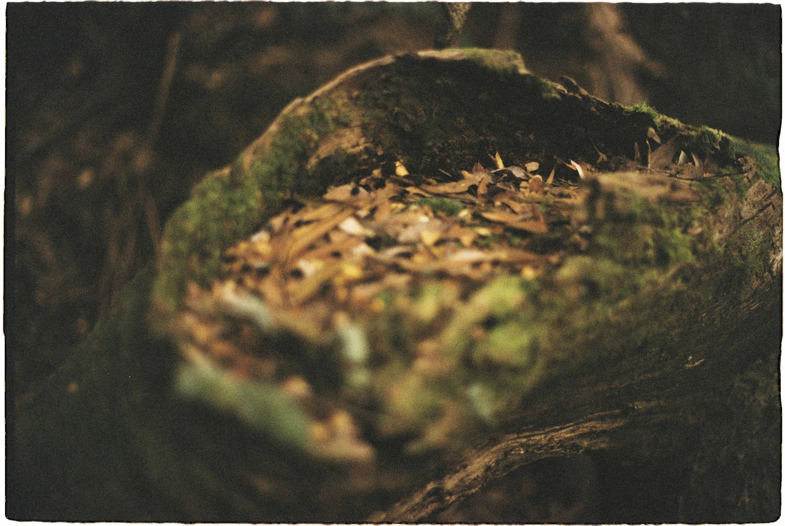
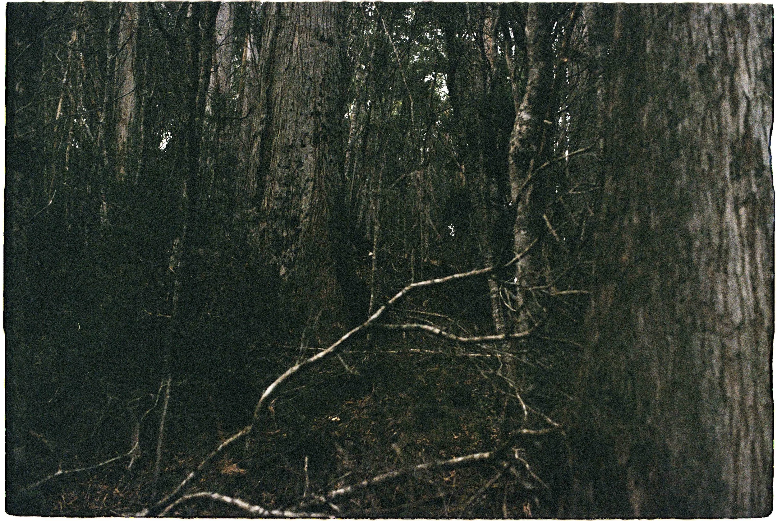
Forest Detail, Pentax MX, Kodak Image Pro 100, May 2025.
I arrived at the base of the southern ridge about two hours after I left camp. I had made good time. There was a large rock buttress about the size of a three storey building here. It was an obvious landmark, one I had spotted from camp. I finally knew exactly where I was. I was at the place where I could launch an attempt at the summit.
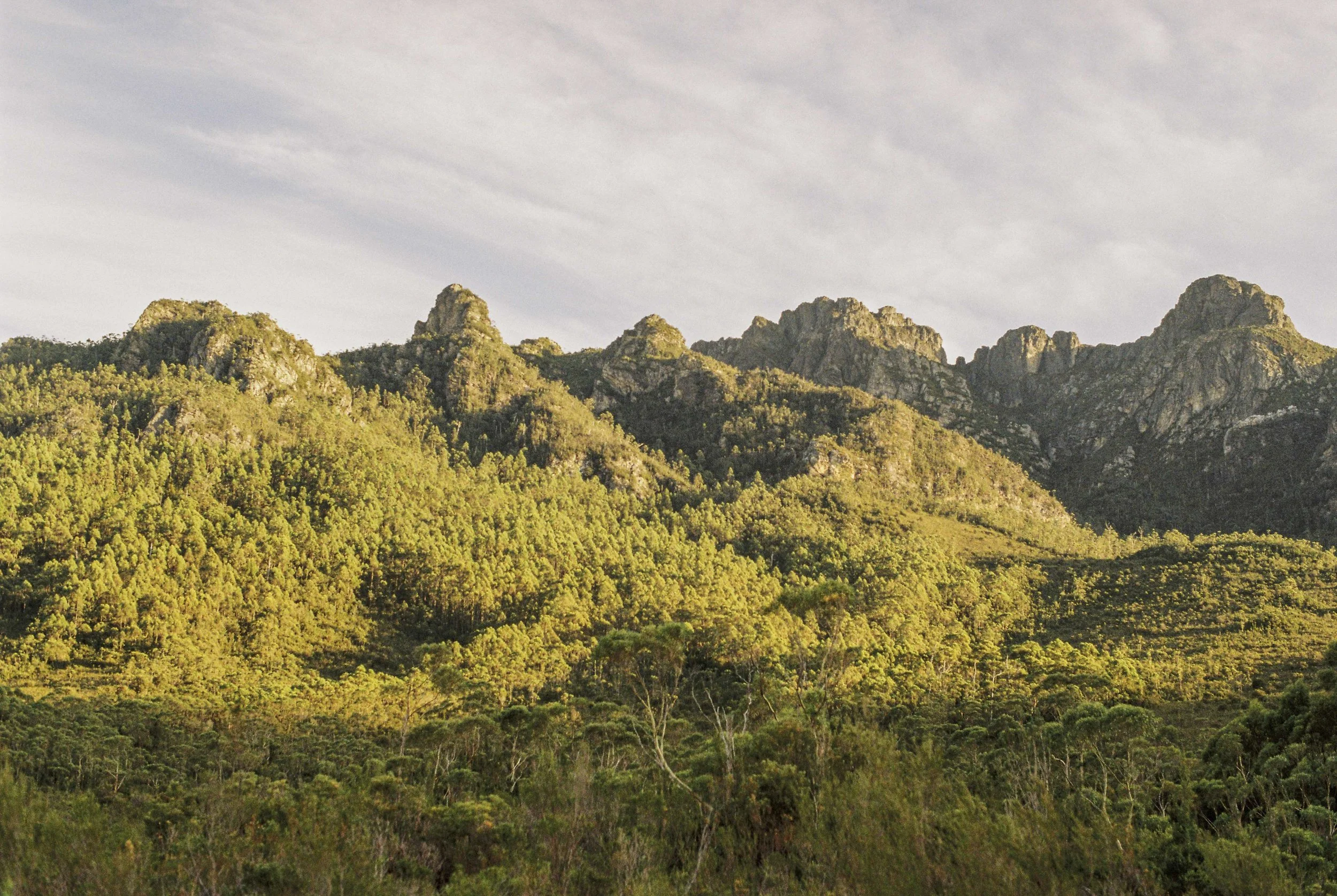
I figured one of the gullies would lead me to the top. There were cliffs in every direction looking up, with some obvious gullies. Except that the central gully I tried ended in cliffs. I retreated and then tried the gully to the left of centre. Which brought me to my dilemma of the rock face in front of me. The smooth slab with the tree above it. And the scary rock hollow to the left below it.
I was without a rope. To continue, or to turn around and look for another way?
One of the gullies. Pentax MX, Kodak Image Pro 100, May 2025.
I chose to turn around, when I remembered it was my mum’s birthday in three days time. When I remembered that, I knew I had to descend.
I descended the steep and loose gully, managing to dislodge one rock only, but it was the size of a rock melon, and it kept tumbling. Eventually, it stopped.
I arrived back at the base of the southern ridge. Back at the big rock. I had to have another crack. Another attempt, even further out left. Which also ended in cliffs. Retreat and descend. Some loose climbing down a tree. Eventually back at the base of the big rock for the third time.
On my fourth attempt, I followed the gully to the right of the south ridge. Which had a stupendously dense tea tree thicket in it. I was worried for my eye balls, imagining it skewered on the end of a sharp tea tree branch. I battled my way up, as gracefully as I could. I was sweating and panting hard. I was rising above the forest, until eventually I arrived to a bit of a notch that had to be scrambled. I did, only to arrive to the base of a giant overhang and a chimney. For the third time, I knew I had to go back down.
I had one serious attempt left in me. So I tried the gully even further to the right. Which had a good feeling about it. For the fifth attempt, I figured I was onto something. This time, the gully would go. Surely!
At one point, I had to crawl through a hole beneath the cliff to keep going up. I did this, having to take my pack off and pull it through. I could smell the summit breeze. And as I kept going up, I eventually arrived to the same place I was at about 45 minutes before. The same bloody chimney and overhang I got to at the end of my last attempt!
There was simply no way up.
I retreated back to the base of the southern spur to the big rock. I had spent four hours trying five different gullies; and all of them ended in cliffs.
I had run out of time. The mountain was not going to let me pass.
The way not traveled. Pentax MX, Kodak Image Pro 100, May 2025.
It was mostly with relief that I set my compass bearing and started down the slope, counting my paces. Those gullies were some of the least friendly places I have ever been. I was happy with my decision to turn around, but the possibility of the central left gully connecting to the top played on my mind.
Alas, there was no going back. Not on this trip. It was back into the forest and back down to the river. It was on my way down that I remembered I took no photos of the cliffs. It’s not that it was not pretty enough or anything. The view from those gullies was incredible, out above the forest and the mountains, all the way to the big dead lake and beyond into the great southwest. But I was so focused on finding a way to the top, I only took one photo during those four hours attempting to find the way to the summit, and that was in the thicket, inside one of the gullies.
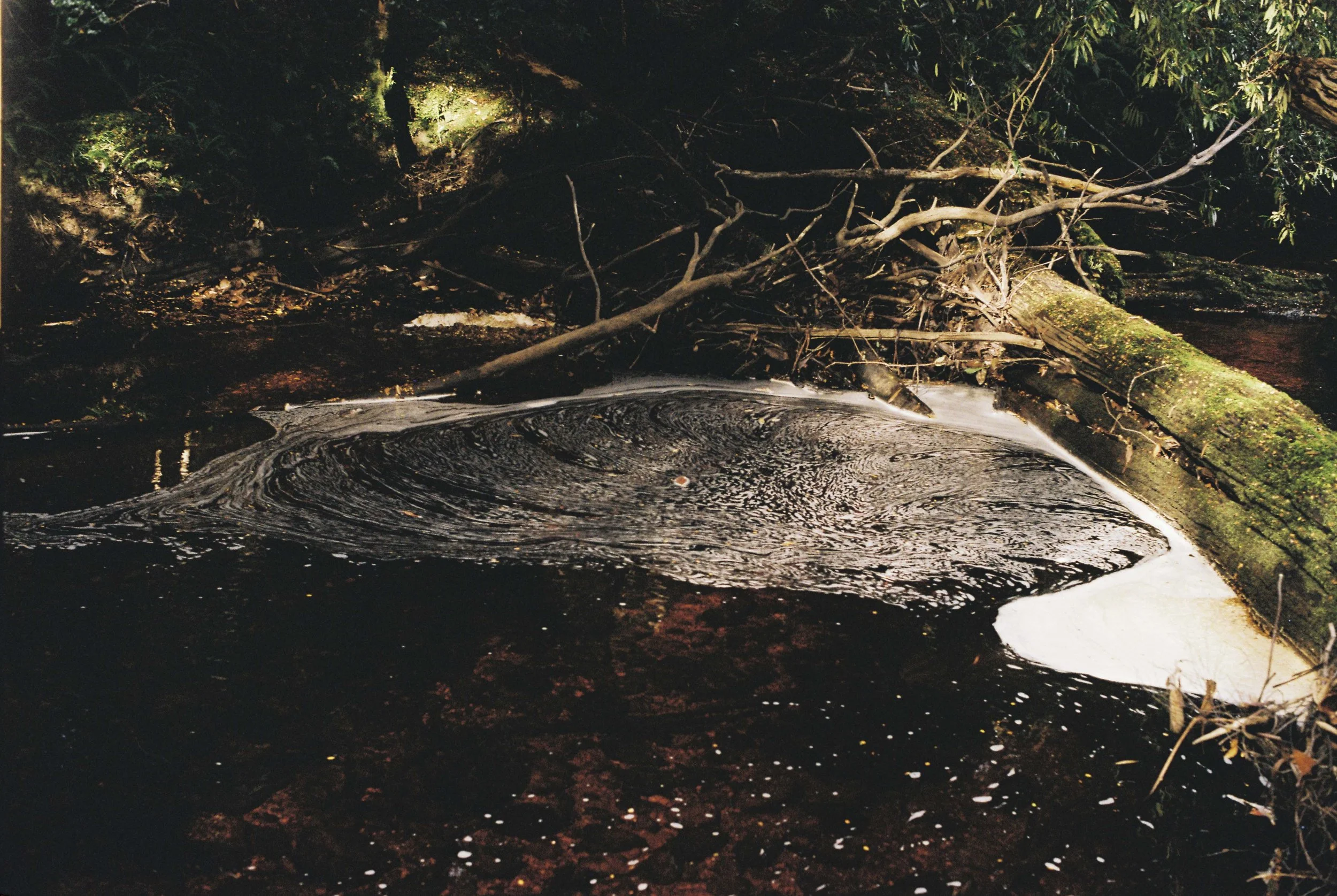
Foam eddy in river. Pentax MX, Kodak Image Pro 100, May 2025.
Finding the way back meant hitting a saddle that wasn’t immediately obvious in the forest. With some luck, but mostly because of the compass and the map, I eventually arrived to this saddle. From here I had to attain a high point, then descend to the river, and aim to find my tent before dark.
I eventually arrived to the bottom of the mountain, to the tea tree and buttongrass plain by the river. The tea trees surrounded patches of open buttongrass in a great mosaic that stretched over half a kilometre. And among one of those little patches was my brown little tent.
It took some time. But I did find the brown tent in the brown buttongrass and brown tea tree plain. The river led me back to it. I walked into camp with two and a half hours of daylight left. I was back at the river, back where I had started.
That day I met the mountain and I managed to return safely.
-A.S. 20/7/2025, Brushy Creek.